600 North
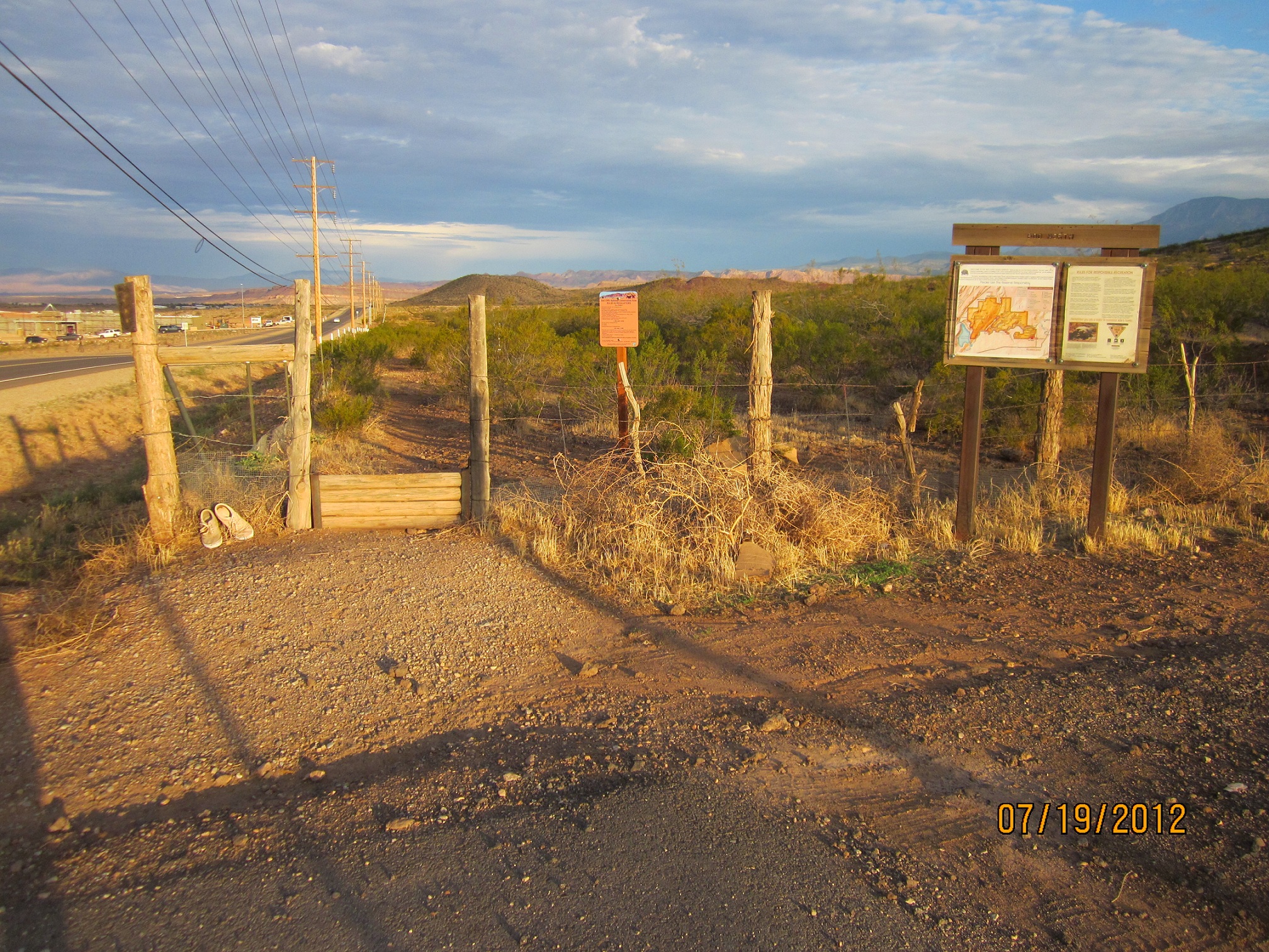
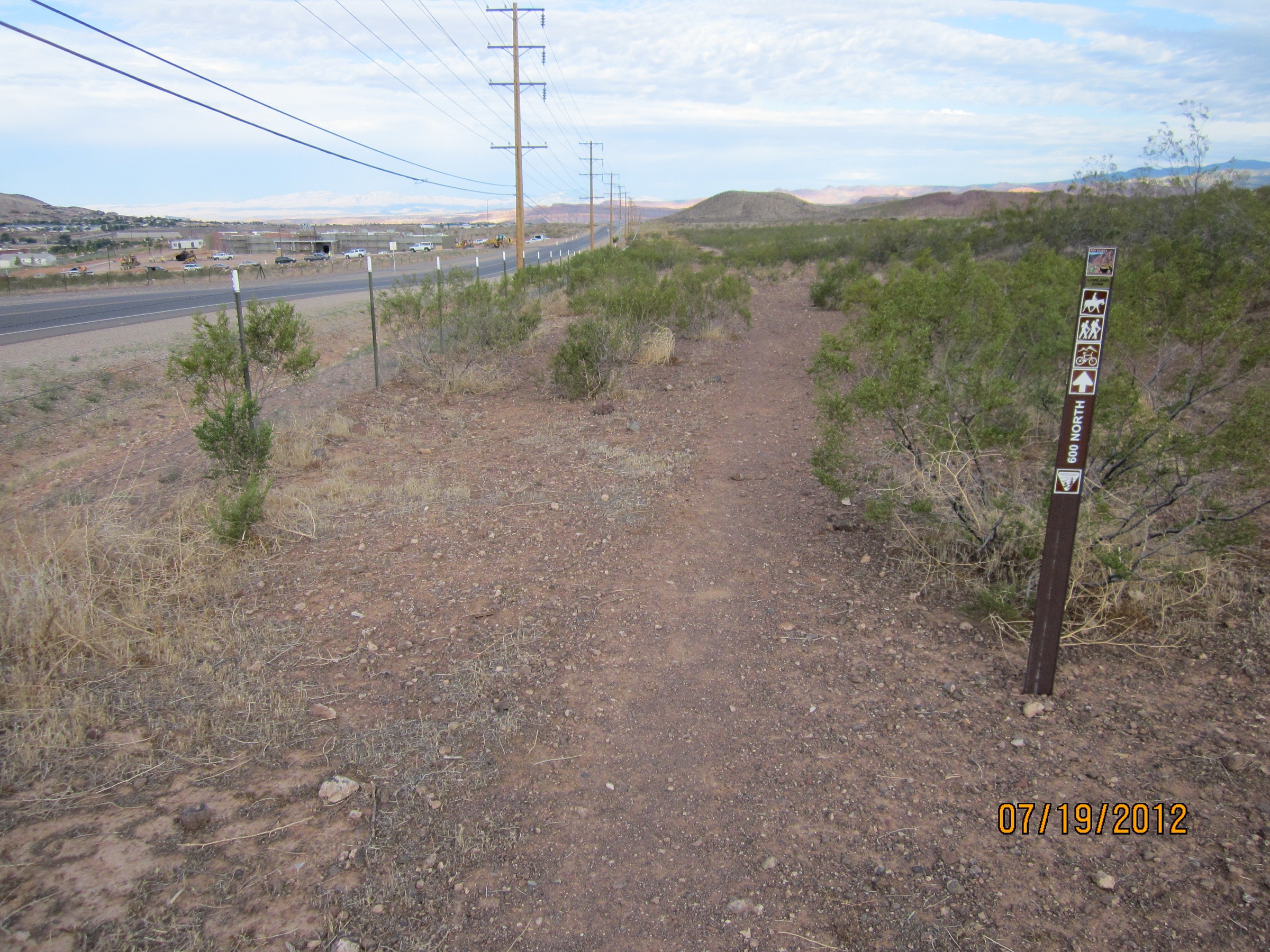
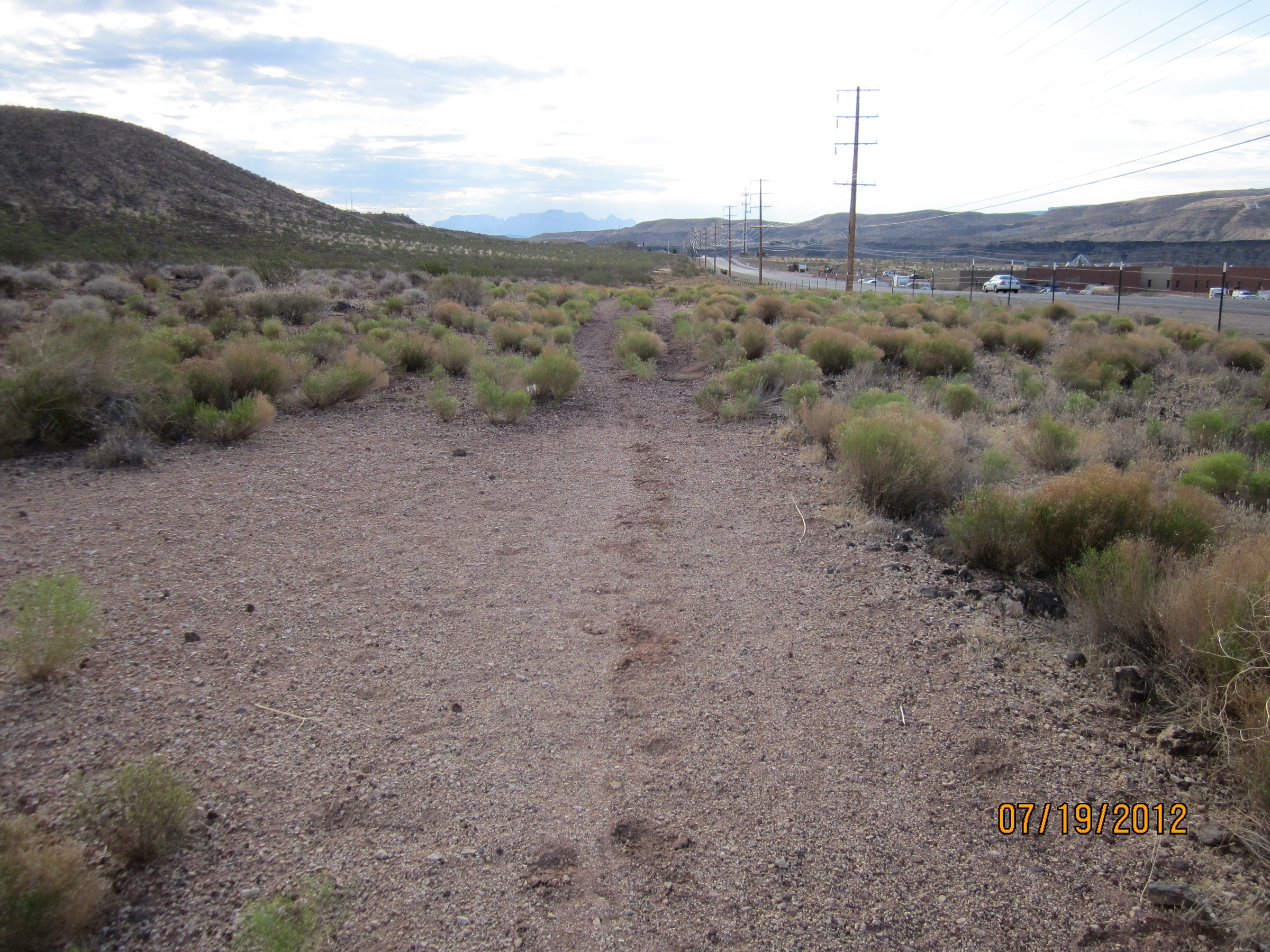
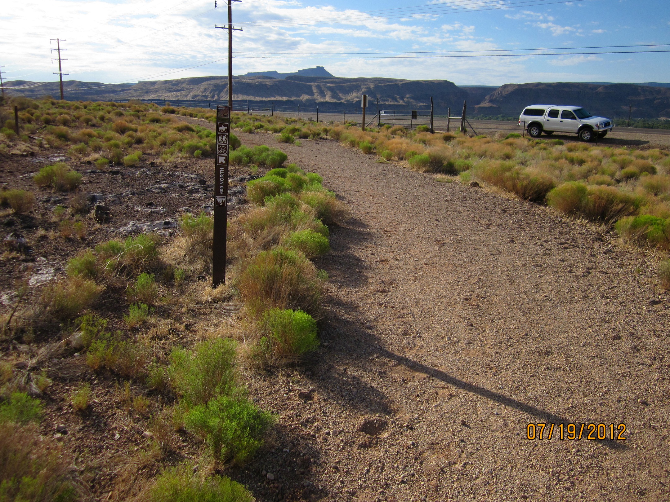
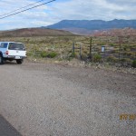
The 600 North trail parellels the City of Hurricane road of the same name near the northwest part of town. A very easy 2-track trail, it is just short of ½ mile of level, fine-grained volcanic cinders. Its only purpose is to connect trails on the East and West Cinder Knolls and to facilitate travel by hikers, bikes, and equestrians. It can be accessed by stepovers on 600 North at the start of both the East and West Cinder Knoll trails. Vehicle parking is available at a modest pullout at the start of the West Cinder Trail segment and on private ground south of the paved road near the start of the East Cinder Knoll trail. The trail lies entirely on lands administered by the Bureau of Land Management in the Red Cliffs NCA.
-
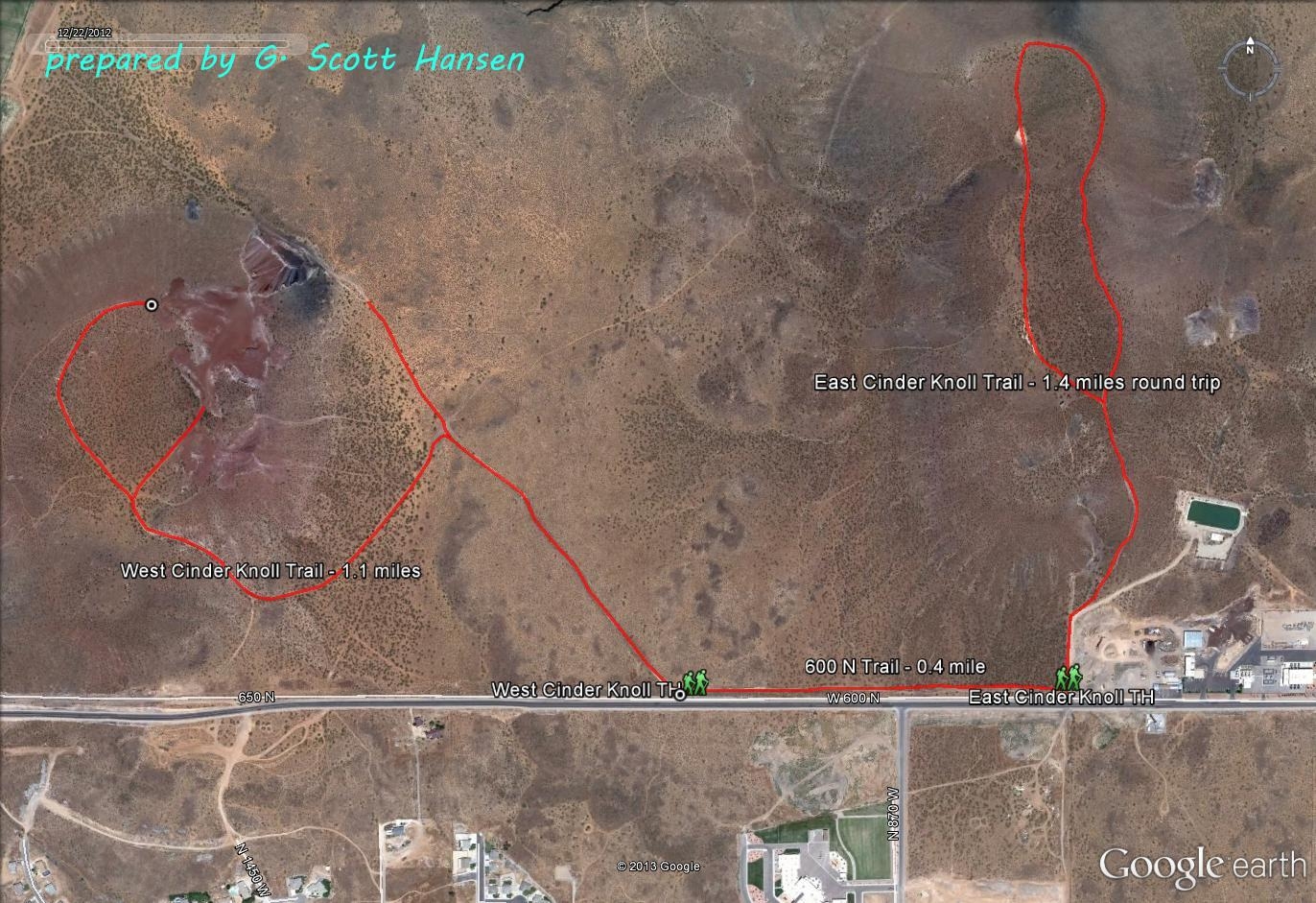
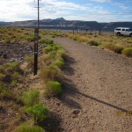
- Map showing 600 North connection to the East and West Cinder Knolls
-
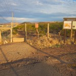
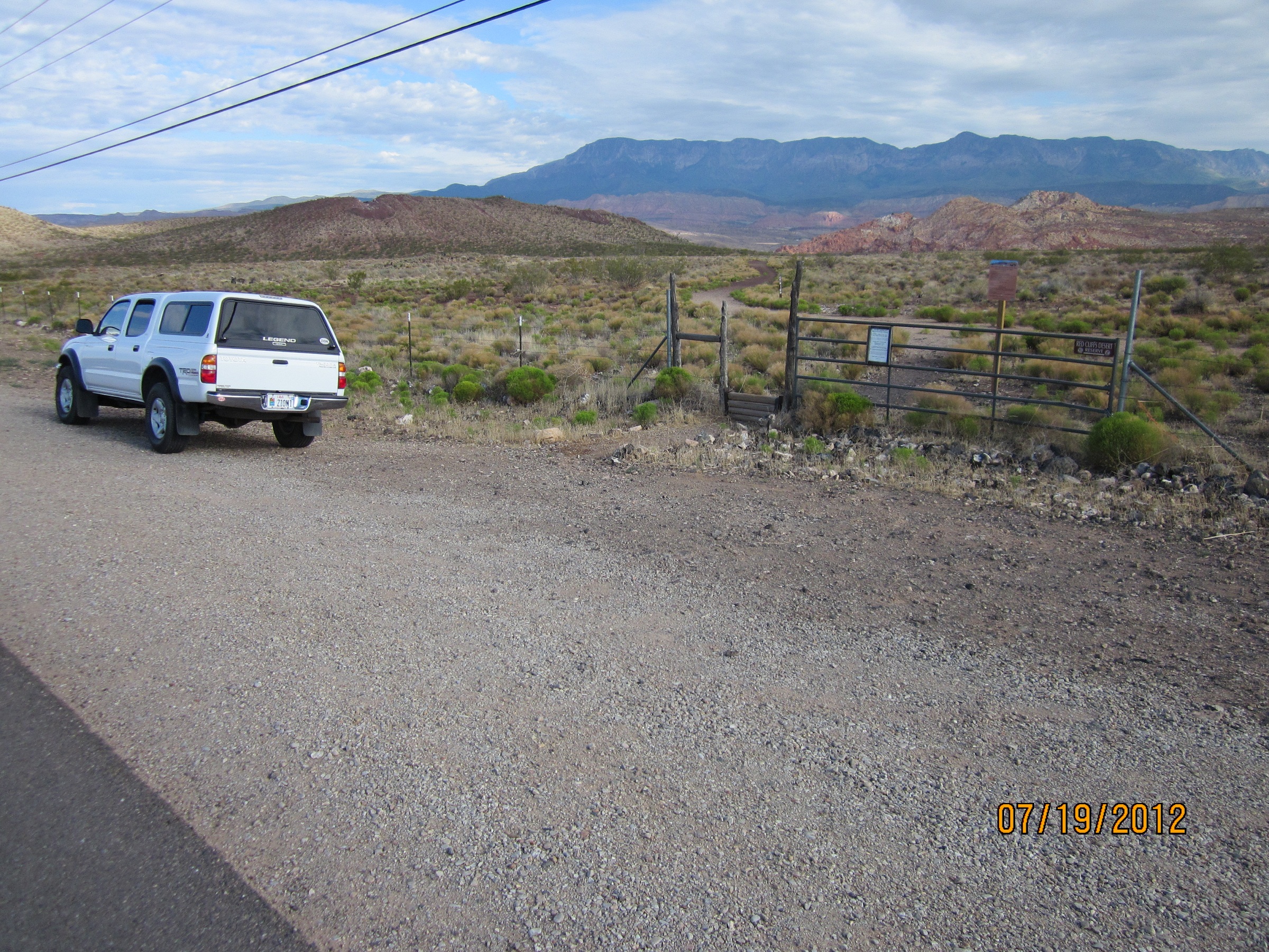
- Trail is accessed at the East CInder Knoll step-over on 600 North and provides parking for only one vehicle
-
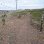
- The trail is level and consists of dirt and finely-ground cinders
-
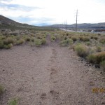
- The trail follows an old jeep road and parallels Hurricane City’s 600 North roadway
-
- The purpose of the trail is to connect trails leading to each of the East and West Cinder Knolls
-
- Contrary to the East Cinder Knoll, the West Cinder Knoll step-over provides parking for multiple vehicles