Dino Cliffs
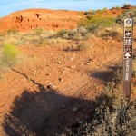
The Dino Cliffs Trail is about 1.8 miles long with total up and down elevation change of about 640 feet and a net gain or loss of about 90 feet from one end to the other. The trail starts at its west end off of a dirt road between two water tanks that serve Washington City. This trailhead , called Dino Tracks, is reached from Exit 13 on Interstate 15 where visitors proceed north and take dirt jeep roads as shown on the map below. The trail terminates at its eastern end at the junction with the Grapevine trail. Visitors may access this end from the Grapevine trailhead, also off of Exit 13 of the freeway. The trail is primarily a single track, dirt and sandy trail with some slickrock areas. The trail is well-marked with trail signs and cairns but there are a couple of areas where you need to pay close attention to the trail. The trail provides nice views of the red-rock “Dino” cliffs, and there are dinosaur footprints in the first wash about 200 yards from the start of the trail at the west end. The trail can also be accessed from the Grapevine trailhead for a total of about 2.9 miles one way. This easy to moderate trail is suitable for hikers, bikers and equestrians. Equestrians and some hikers and bikers like to make a loop trip of 5 ½ miles starting at the Dino Cliffs trailhead and travelling the Dino Cliffs trail to the Grapevine trail, then north to the Sand Hill trail and the Bone Wash trail, then finishing up on the Mill Creek trail and trailhead. Visitors then follow other unnamed dirt trails/roads back to the start. Be forewarned that the Sand Hill trail has some soft, sandy stretches that bedevil most bikers. The trail lies entirely across lands currently administered by the Utah School and Institutional Trust Lands Administration (SITLA).
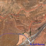
- Map of the Dino Cliffs trail.
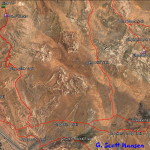
- Area trail map showing linkages to connecting trails.
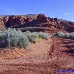
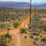
- This shows the turnoff from the water tank dirt road to get to the west trailhead
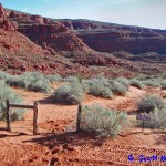
- Visitors will walk through this stepover to begin the hike. Blow sand frequently covers portions of the stepover.
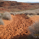
- Portions of the trail involve soft sand which is favored by many equestrians.
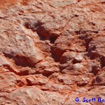
- About 200 yards east of the stepover, numerous dinosaur tracks can be found on the ground adjacent to the trail.
- This is what the dinosaur tracks will look like.
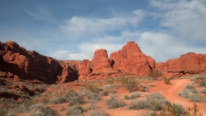
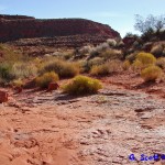
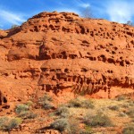
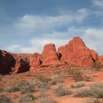
- The trail runs under red rock cliff formations that give Dino Cliffs its name.
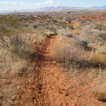
- Beyond the sandy portions, the trail becomes a single-track, dirt trail throughout most of its length.
- Views of the massive red rock formations are frequent along the trail.
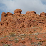
- Some of the formations show very unique sculptures made by mother nature.
- A few single-track sections are very popular with hikers and bikers.
- Beautiful red rock formations below Southern Utah’s blue sky make this trail a wonderful experience.
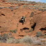
- Visitors will find one uphill climb on slickrock a little challenging. Horses may choose to use a go-around trail.
- Another view of the spectacular red rock beneath the blue sky.
- The trail ends at its junction with the Grapevine maintenance road shown here.
