City Creek
The City Creek trail is most often accessed from a step-over on the west side of the Red Hills Parkway across the street from the Pioneer Hills trailhead. From the trailhead visitors should take the concrete trail heading north from the northwest corner of the parking area to a Parkway underpass about 200 yards up the trail. Proceed through the underpass to reach the paved city trail and head south about ¼ mile till the stepover is reached. From this stepover, hikers, bikers, and equestrians follow a winding dirt, single-and-double-track trail of easy to moderate difficulty for about 3 miles with numerous ups and downs. After passing above the Red Hills golf course, the trail dead-ends on the north when it reaches another stepover on the Red Hills Parkway near the junction with Highway 18. Total elevation change is about 960 feet (435 feet up and 525 feet down) from the Pioneer Hills Trailhead). Because the northern stepover connects to the city trail system, hikers and bikers have the option of completing a nice loop back to the Pioneer Hills trailhead on the city trail for a total trip of 4 miles. Near the trail’s northern end, visitors may also proceed on to the Rusty Cliffs trail that drops down a deep dugway to cross under the Parkway and continue north along Highway 18. Along the City Creek trail, visitors get occasional glimpses of portions of St. George City, the Red Hills golf course, and mountains to the north, south, and west. Common wildlife include desert tortoises, cottontails, jack rabbits, hawks, and a variety of lizards. Desert floral displays are evident after rainy periods, particularly in the spring. An alternate access point is found at the head of Main Street in St. George at the Brooks Nature Park trailhead. From that small parking area, visitors may proceed up the Brooks Nature trail to the Owen’s Loop trail and head west till reaching the junction with the City Creek connector trail. The connector is about ½ mile long with uphill segments and some rocky substrate of easy to moderate difficulty. This trail leads visitors to join the main City Creek trail to the north. These trails lie entirely on lands owned by the City of St. George.
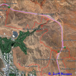
- This map shows the City Creek trail and its links to connecting trails.
- Some visitors may choose to park their vehicles in the Pioneer Hills parking area on the east side of the Red Hills Parkway.
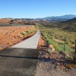
- From the Pioneer Hills trailhead, visitors will take a paved trail from the northwest corner of the parking area heading north.
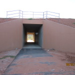
- The paved trail will lead to this underpass which allows visitors to cross over to the Red Hills Parkway trail on the west side of the road.
- From the west side of the underpass, visitors will proceed south to connect with the City Creek trail entry stepover at this point.
- After passing through this stepover, visitors will proceed along dirt trails to follow the entire City Creek trail system or to break off and head towards the Owens Loop trail.
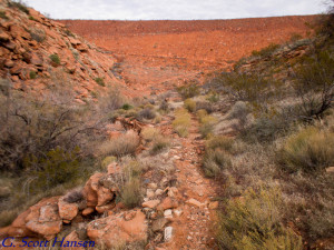
- This rocky section of trail breaks off from the main City Creek trail heading south to take visitors to the Owens Loop trail.
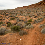
- At the split-off, visitors will proceed to the right to take the main City Creek alignment which proceeds to the west and to the north.
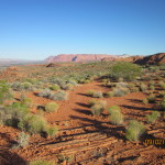
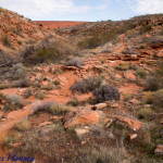
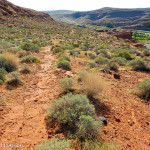
- The trail runs along rocky flats with views to the west of the Beaver Dam Mountains and other parts of western Washington County.
- Looking to the south and back towards the east, visitors will have very nice views of portions of the St. George metropolitan area below the red sandstone cliffs.
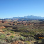
- To the north, visitors will occasionally have views of the distant Pine Valley Mountains.
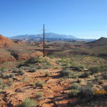
- Heading back to the north, the trail will eventually run underneath large powerlines and serves as a maintenance road for city vehicles.
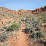
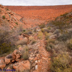
- Portions of the trail will be a mix of slick-rock and sandy segments such as this stretch heading to the northeast towards the City Creek drainage.
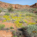
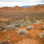
- During the wet season or after rains, floral displays will be common along parts of the trail.
- Visitors will drop down this rocky slope to reach the bottom of the City Creek drainage.
- From here the trail runs immediately above the creek along this pebbly segment towards the detention dam. The trail runs across the face of the detention dam as shown above to get to the other side of the creek.
- North of the creek, the trail becomes a firm, dirt surface running up the slope of the hill.
- The trail runs above St. George City’s Red Hills golf course as shown above.
- After leaving the golf course, the trail continues up-slope along this slick-rock section.
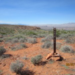
- This trail marker sits atop the ridge between the City Creek area and the Red Hills Parkway to the north.
- From the top of the ridge, the trail runs down-slope to the north towards the Red Hills Parkway.
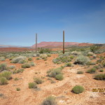
- Visitors who wish to move onto the Rusty Cliffs trail will follow the route between these landmark poles.
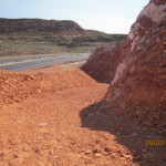
- The Rusty Cliffs trail starts as visitors proceed down this dugway to enter the underpass and proceed past the Red Hills Parkway.
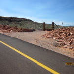
- Visitors who choose to finish the City Creek trail will proceed to this stepover at the north end of the trail and exit to the Red Hills Parkway trail. From here, visitors may return to the Pioneer Hills trailhead or other locations along the city trail system.
