Gila
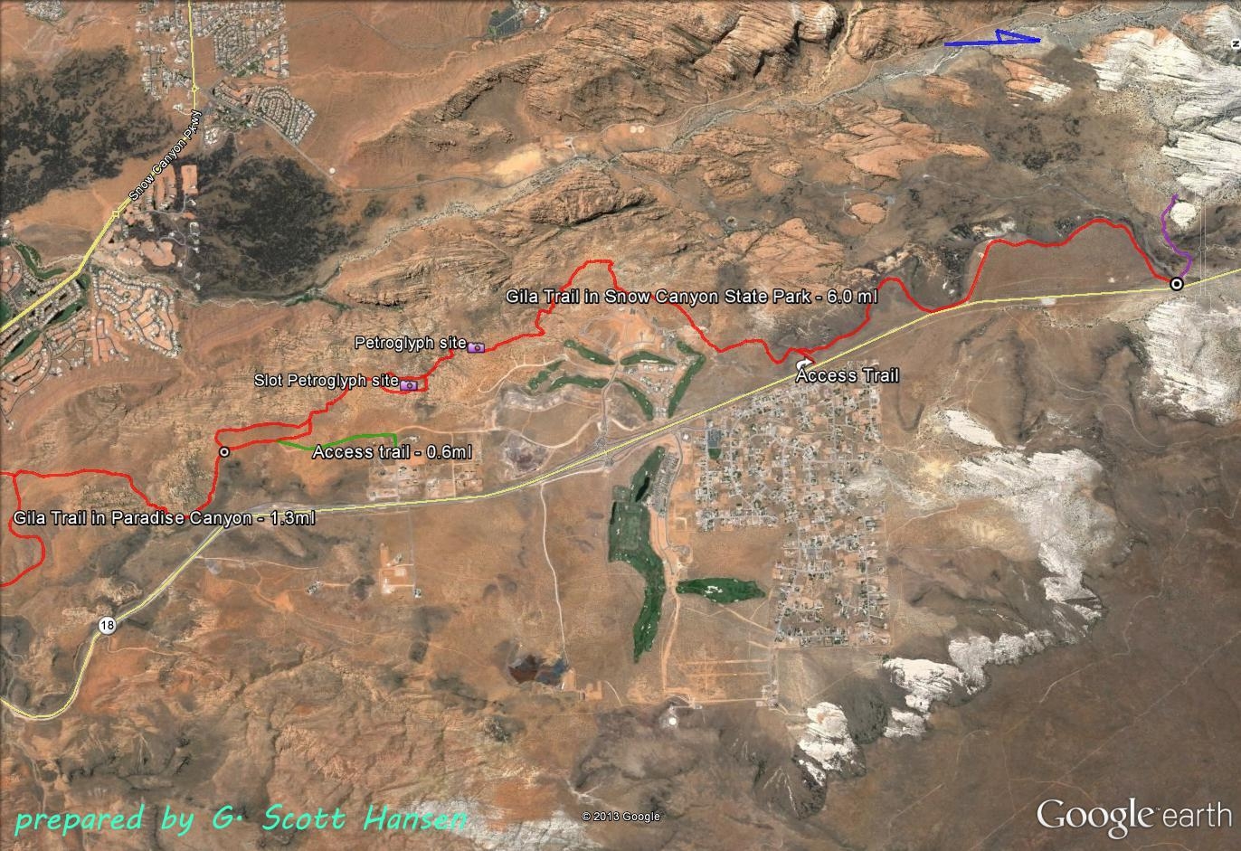
The Gila trail is a delightful hiking feature on Snow Canyon State Park’s eastern boundary. With one short exception, the entire trail is in the park’s no-fee area, meaning that visitors are not required to have a park permit or season-long pass. As with all park trails, no off-trail use is permitted. The park and trails are open 6 a.m. to 10 p.m. Camping and fires are not allowed. Dogs are currently permitted and must be on a leash (6-foot maximum).The trail is most often accessed from the paved parking area outside of the park’s north entrance station off State Highway 18. From there, the trail meanders south across the flat plateau with spectacular views of the red and white canyon walls and outcrops along the entire north end of the park. This section is easy and is suitable for hikers and equestrians. After a short mile, the trail reaches the popular Snow Canyon overlook (accessible by motorized vehicle) and then heads out on the graveled road to the Highway where it turns south on the City of St. George’s paved hiking and biking SR-18 trail. About 1/4 mile down this segment, the trail turns back towards the park through a stepover onto natural surface and winds across an upper plateau before dropping into some sandy, rocky, and sometimes slickrock sections. The trail is generally well-signed for trail users. Up and down sections make this lower section more interesting but raise the level of difficulty to moderate. After passing beneath the Ledges development, the trail enters a remarkable red sandstone fantasy land with sandstone formations and scenic wonders. Here the trail follows narrow ridge tops, sloping sandstone benches, sandy wash bottoms, and a few narrow slot canyons. With significant ups and downs, the trail becomes moderately difficult in nature for many visitors. This is definitely not suited for baby strollers, bikes, or horses. A side loop in this section is signed to take more adventurous visitors through a maze of turns and climbs with occasional archeological sites that may be discovered by attentive hikers. All visitors are cautioned to be sensitive to and respectful of these sacred, and protected resources. After departing the sandstone area, visitors are led through a high desert juniper and cactus forest interspersed with outcrops and opportunities to look over portions of developed areas in the St. George metropolitan area. After some more ups and downs, the trail ends at its junction with the Beck Hill and Paradise Rim trails in Paradise Canyon. From the North entrance station parking area to the junction with the Beck Hill trail is 7¼ miles. Total elevation change up and down from start to finish is about 2400 feet, a 1215 foot gain if heading north, a loss if heading south. Net change is 785 feet either way. To complete the hike south to the Chuckwalla trailhead parking entails another 2.3 miles from the junction with Beck Hill. Hence the hike from the North station to Chuckwalla is about 9 ½ miles. Proceeding from the junction on the Paradise Rim trail to the Gap trailhead shortens the total distance by about ¾ mile. Visitors should be aware that a short, ½ mile segment of the Gila trail proceeding north from North entrance station connects with the lower segment of the Whiterocks trail. It is a sandy, relatively easy trail with some lava rock sections and is suitable for hikers and equestrians. This segment, however, is in the park’s fee area and requires a permit or season pass.
-
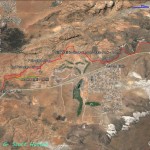
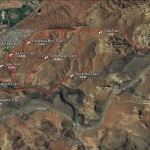
- This map shows the northern alignment of the Gila trail from the north entrance station of Snow Canyon State Park.
-
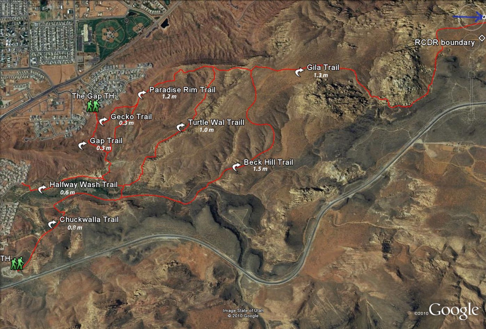
- Map of Paradise Canyon trails showing optional connections with the south end of the Gila trail
-
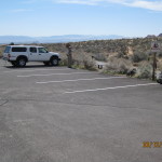
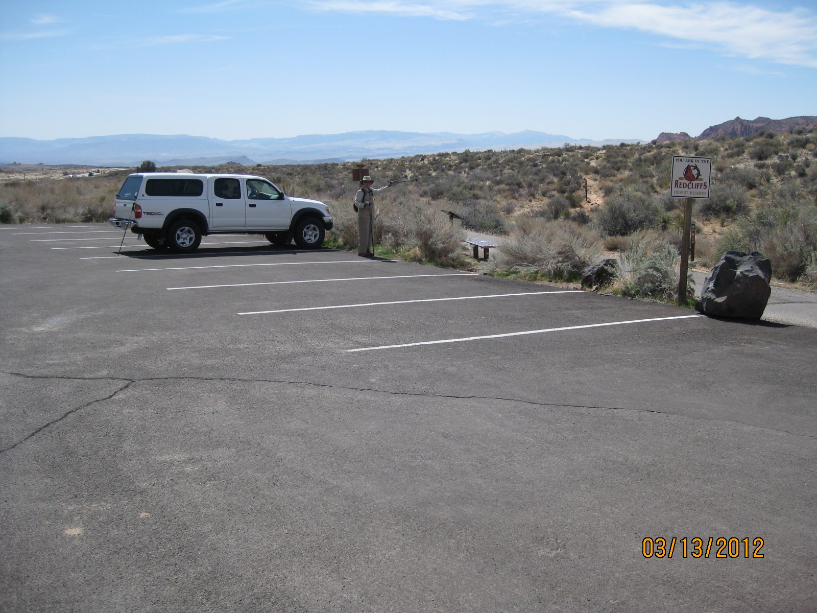
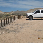
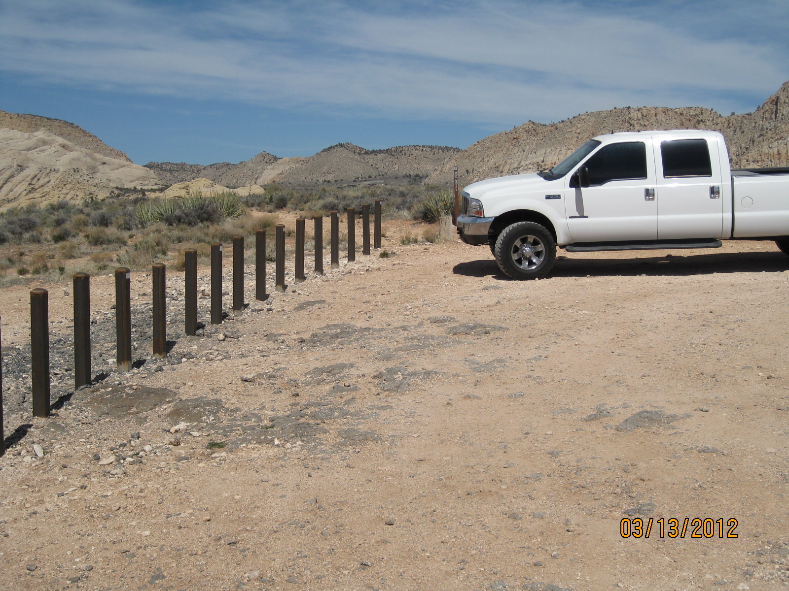
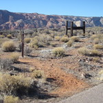
- In the non-fee area the Gila trail starts at the parking area adjacent to the north entrance station of Snow Canyon State Park
-
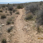
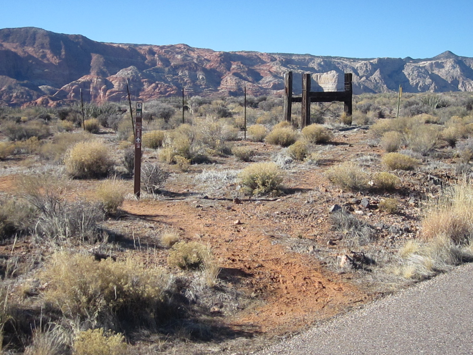
- The trail starts out as a dirt, level, single-track trail that is easy for all user types
-
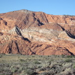
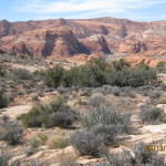
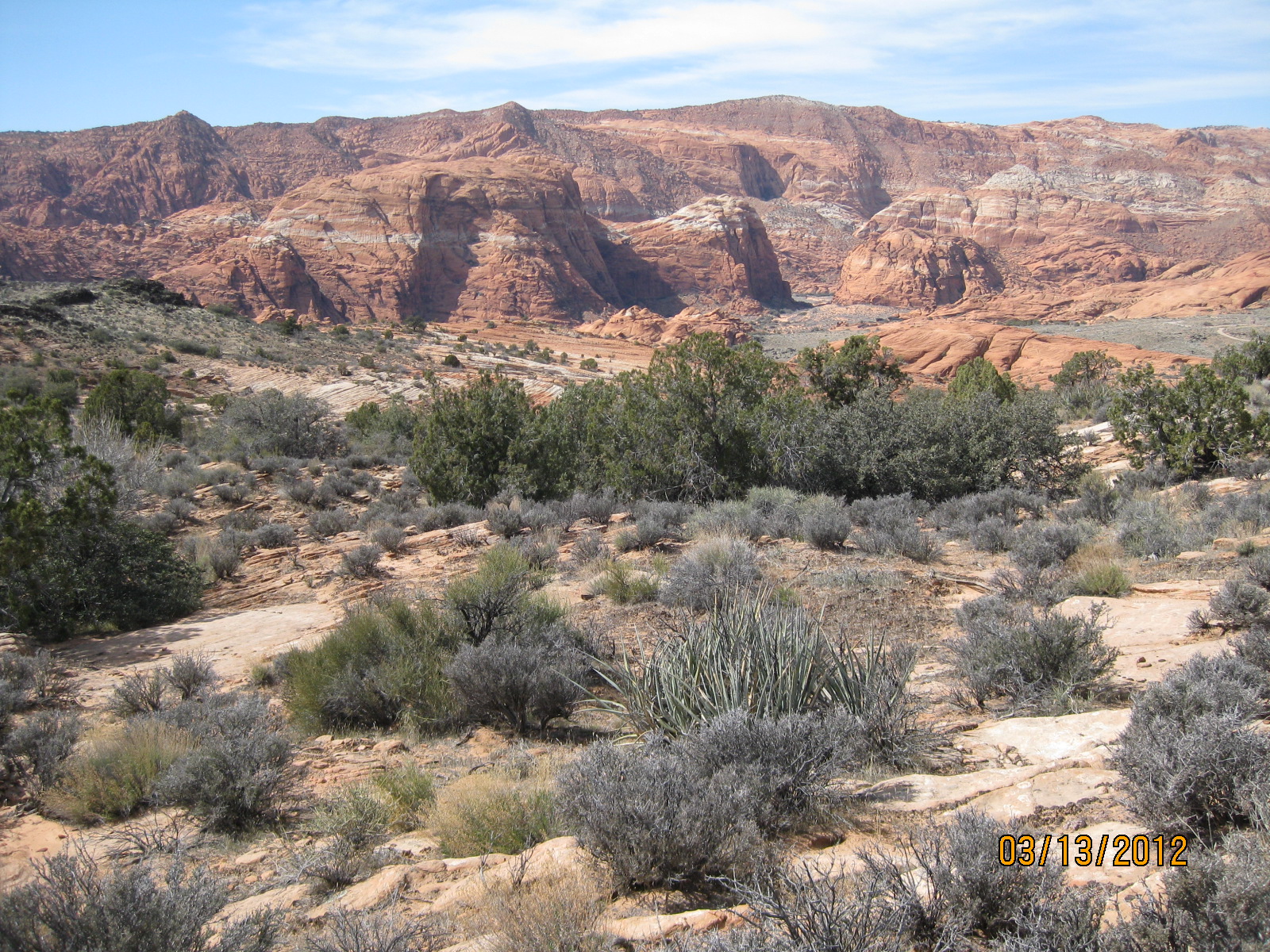
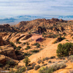
- Hikers on this level segment enjoy excellent views of the spectacular sandstone formations in Snow Canyon
-
- This northern segment ends at the Snow Canyon State Park overlook that is accessed off Highway 18
-
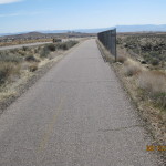
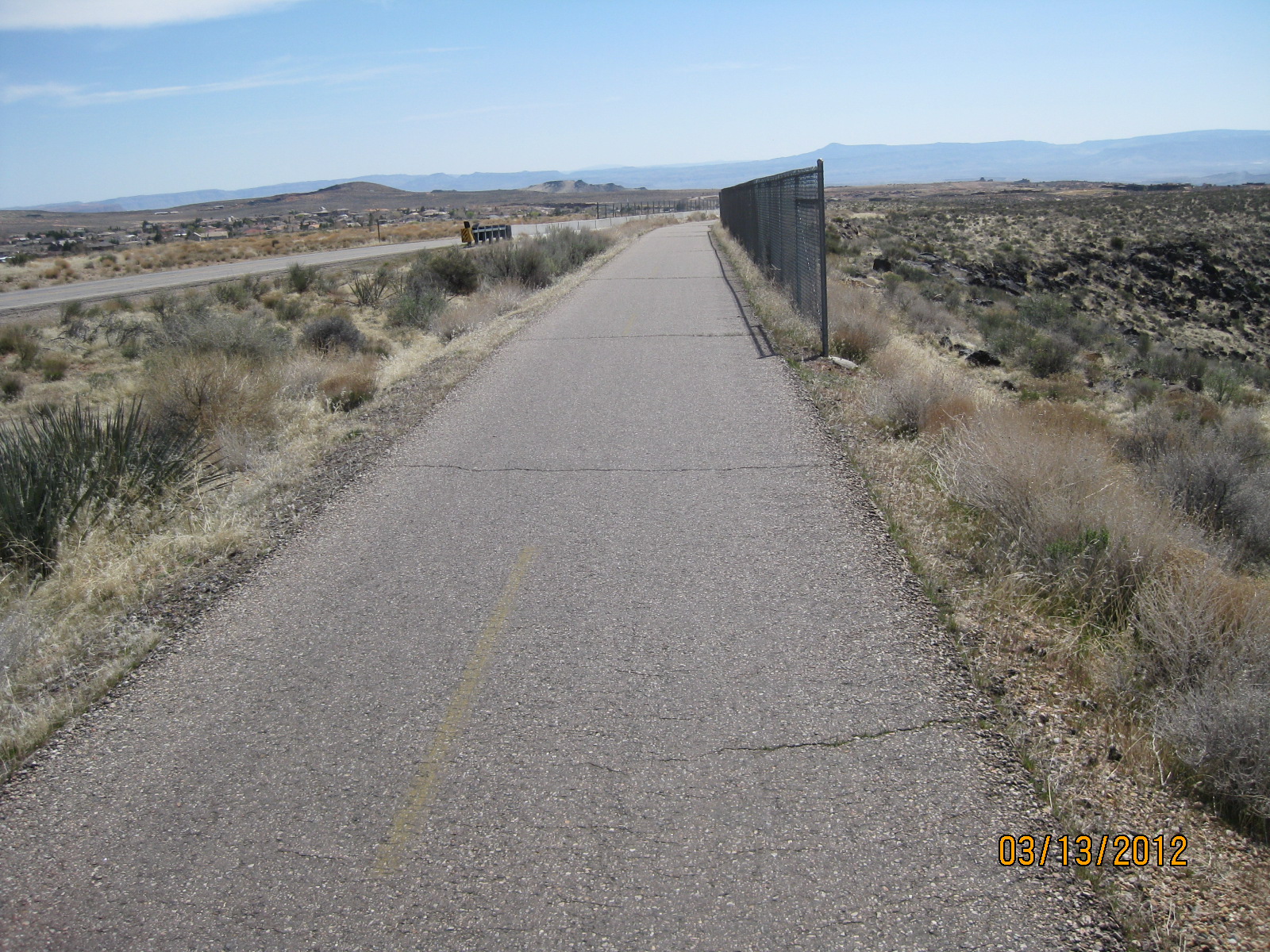
- From the overlook, the trail goes out to the St. George City paved trail system where it breaks south for 3/4 mile
-
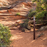
- Entry back into the natural surface occurs across the highway from the entrance to Winchester Hills
-
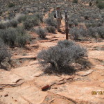
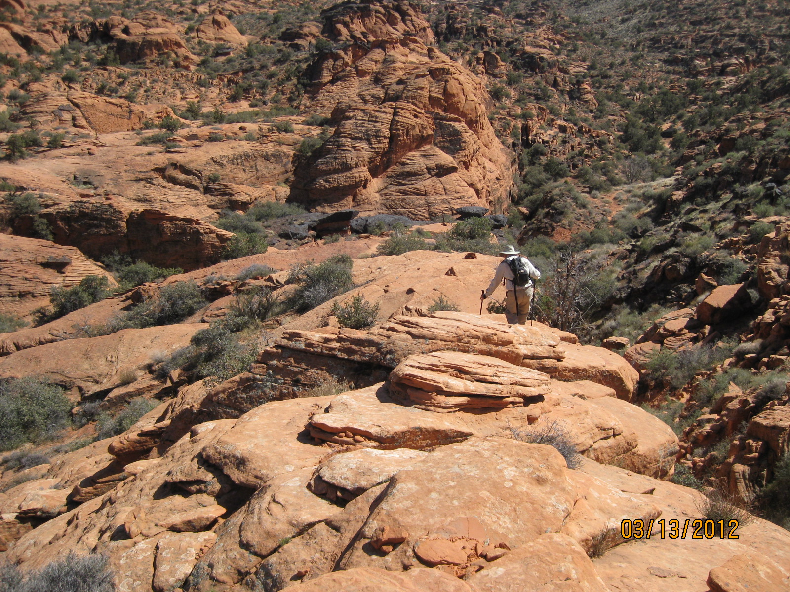
- Portions of the trail include rough slick rock sections as shown above
-
- The middle section of the trail is comprised of scrub brush, pinion and juniper with excellent views of Snow Canyon’s beautiful rock formations
-
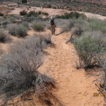
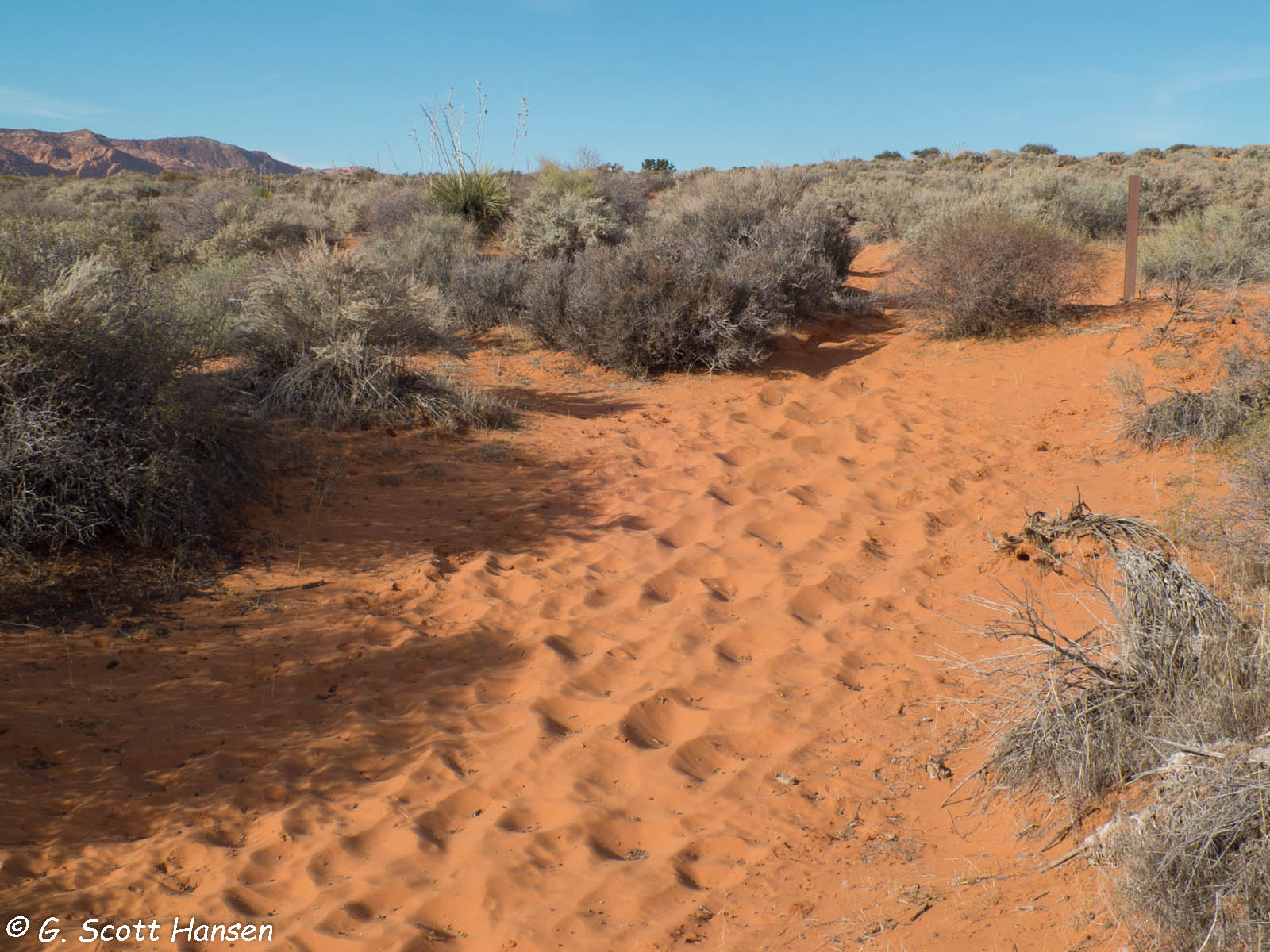
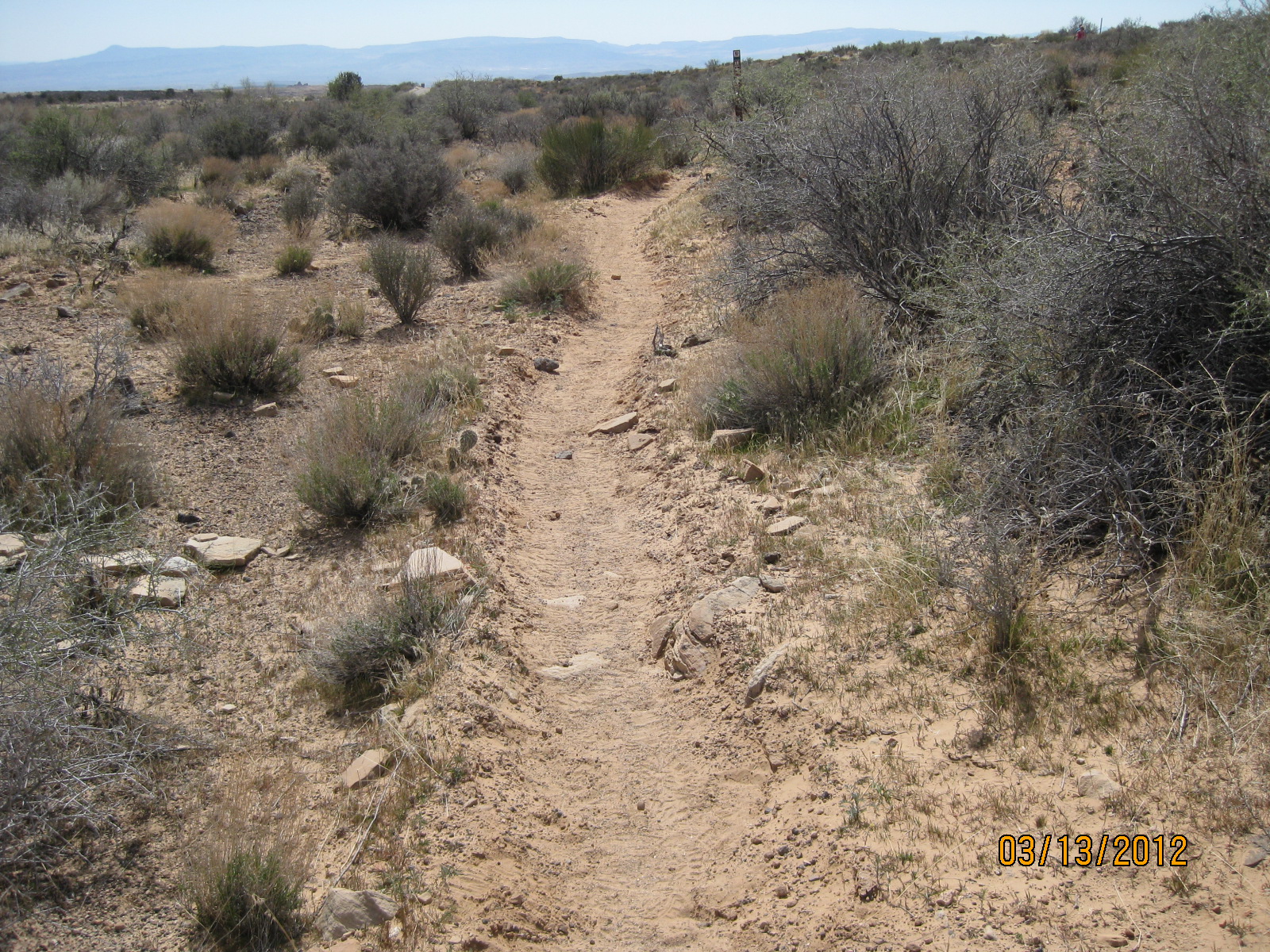
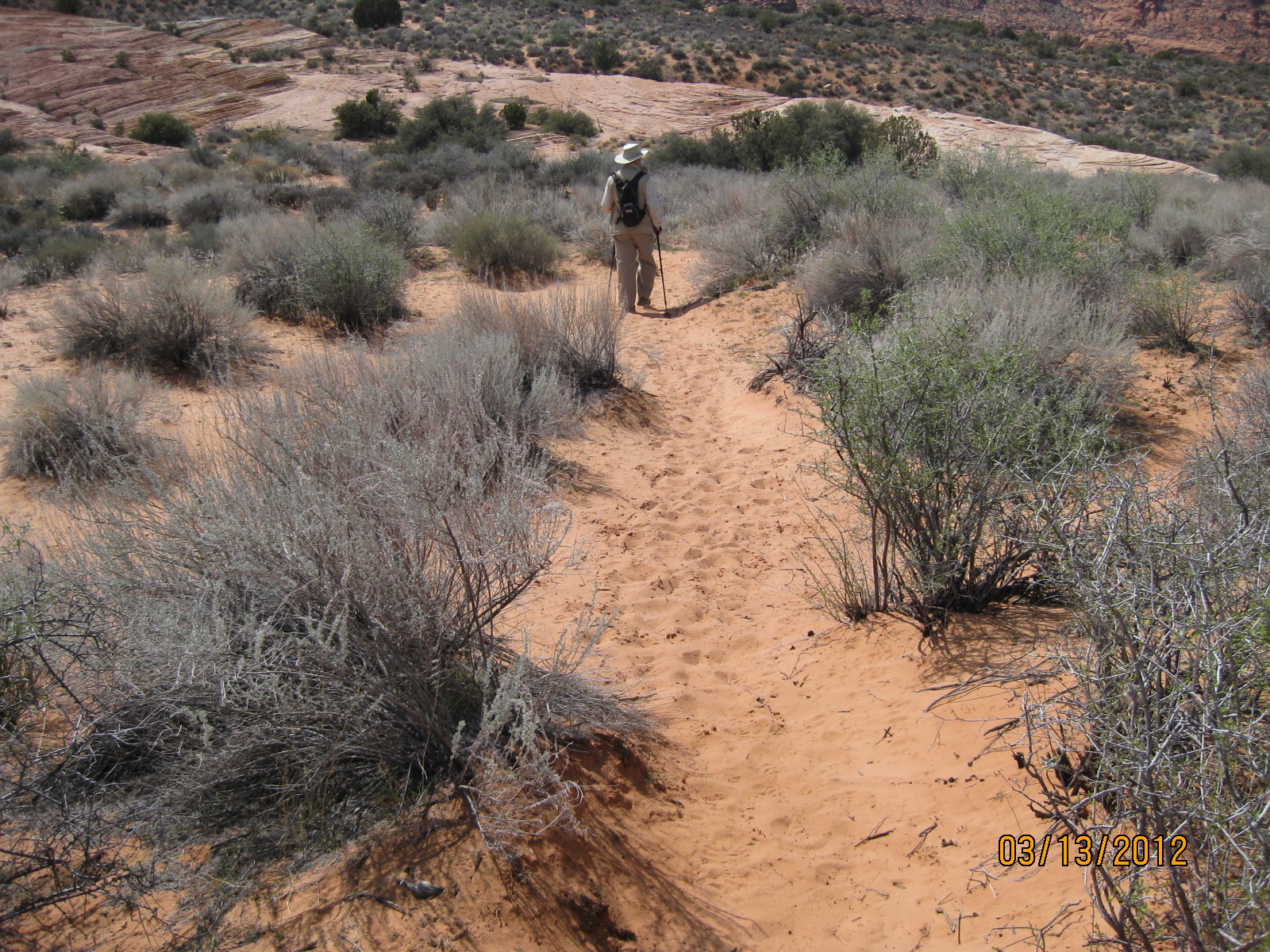
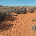
- The middle section of the trail also has some deep sandy sections
-
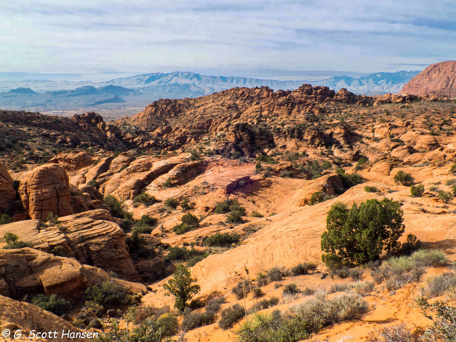
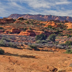
- In the southern part of the middle section the trail enters a fantasy land of red rock sculptured sand stone
-
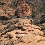
- This part of the trail crosses steep ridges with ups and downs that are challenging to some users
-
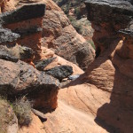
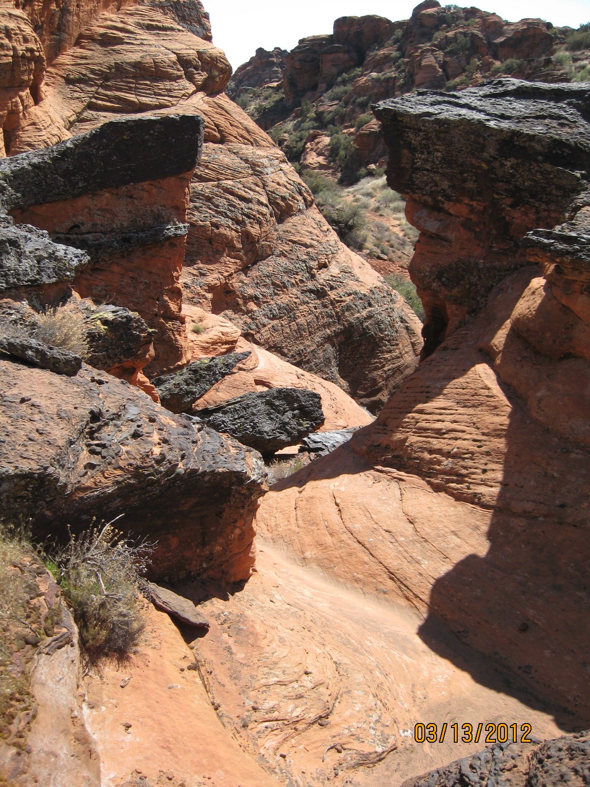
- In the fantasy land, the trail winds through narrow slot canyons and other delightful formations
-
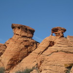
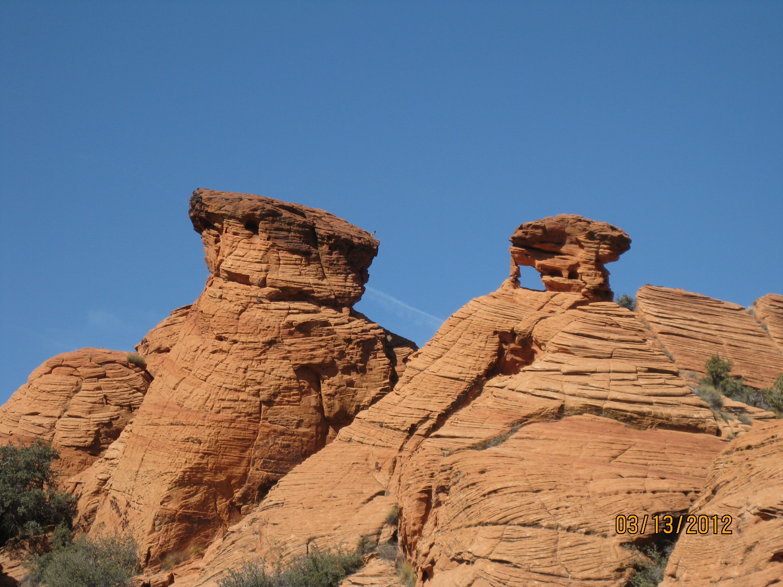
- The trail winds through drainages from which hoodoos and small arches can often be seen
-
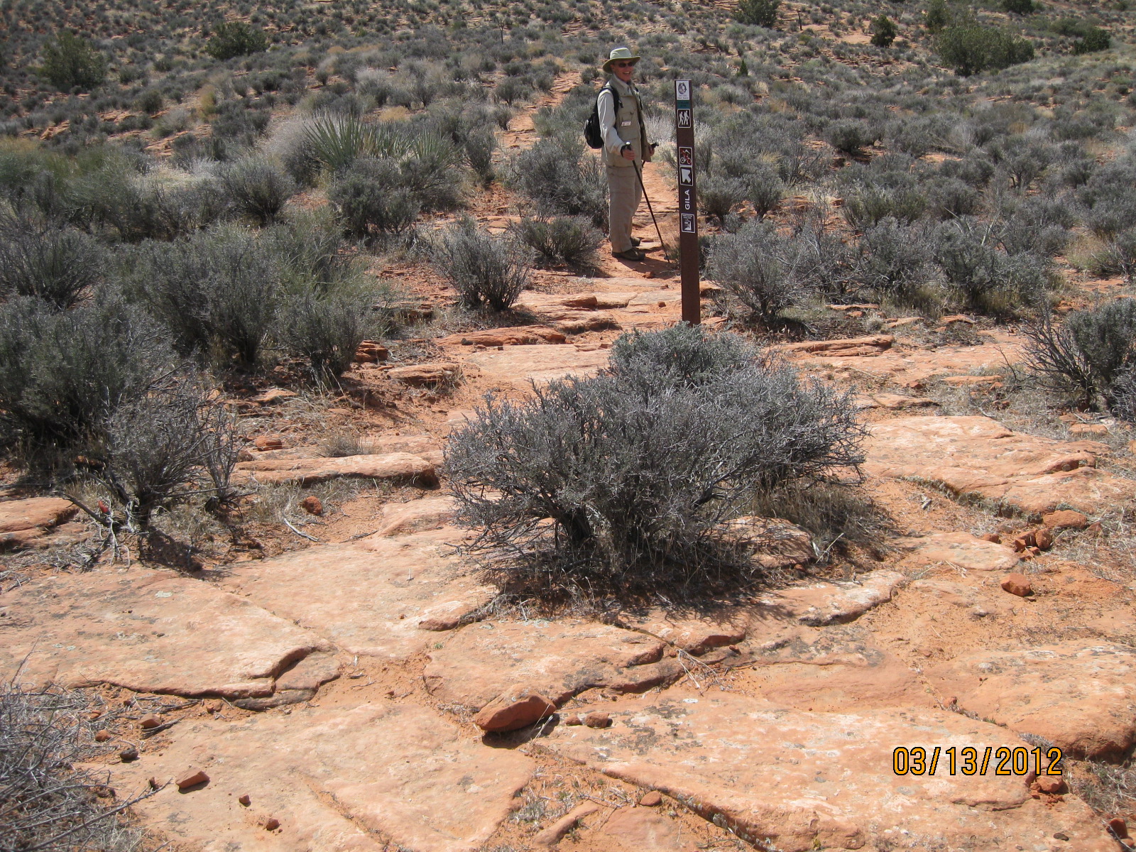
- In the southern portion of the middle trail a loop option takes visitors through an area with numerous archeological sites which can be discovered by perceptive visitors

-
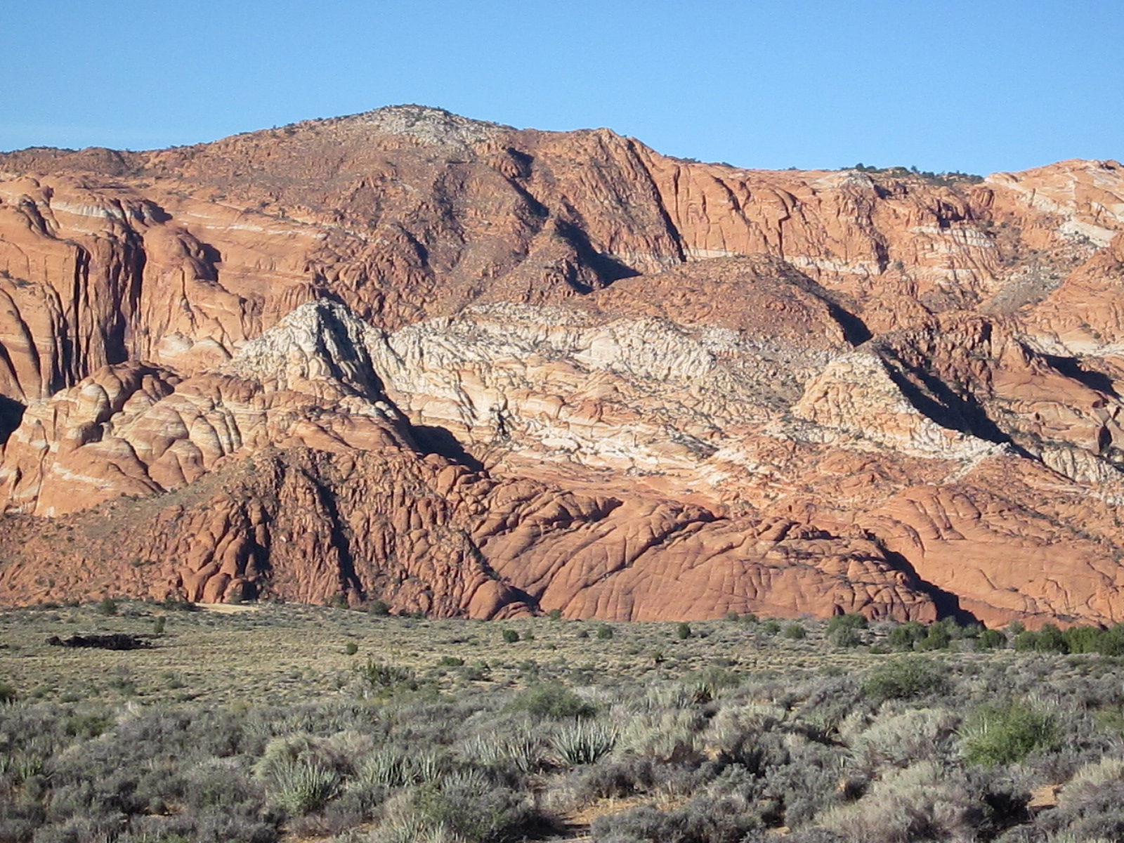
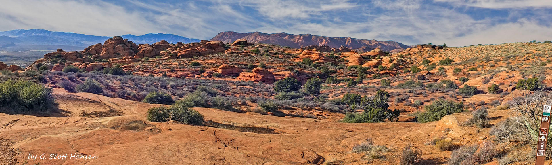
- Throughout this portion of the trail, spectacular view of red rock formations are numerous and awe-inspiring
-
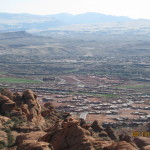
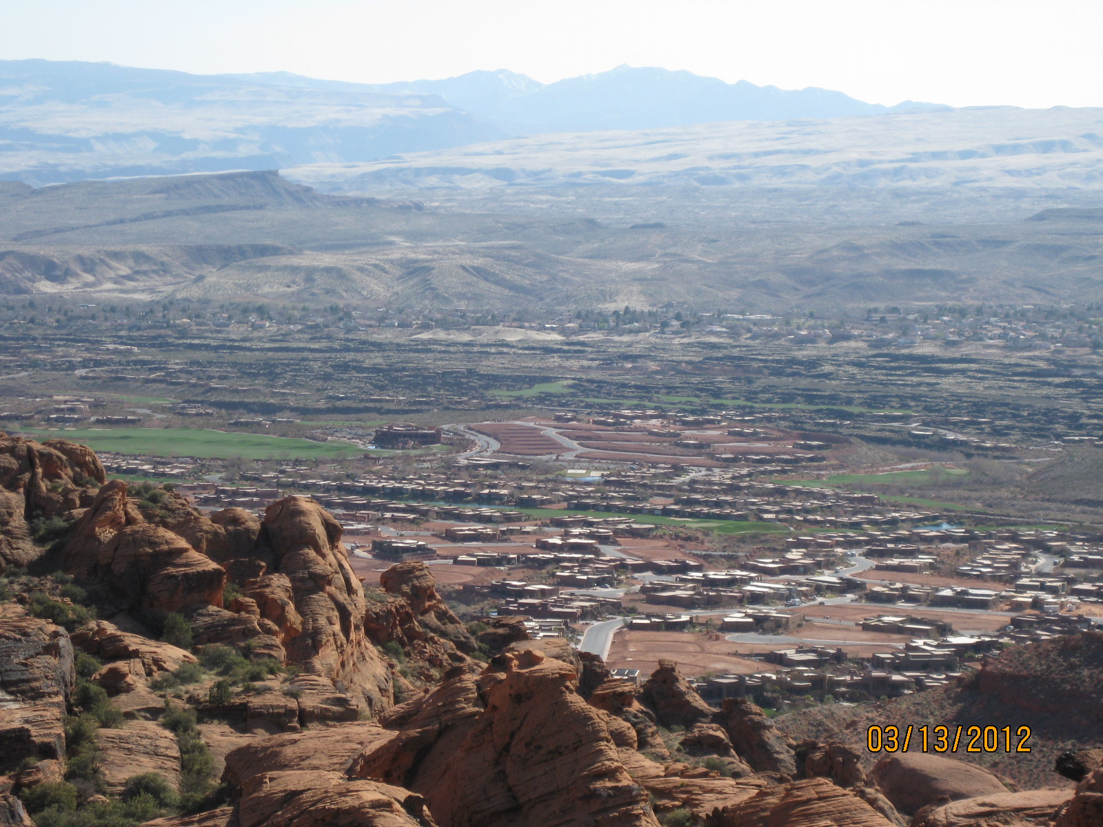
- Towards the southern part of the trail, visitors will get occasional glimpses of the St. George metropolitan area from the cliffs high above
-
- The trail becomes deep sand as it approaches its south end near the junction with Paradise Rim