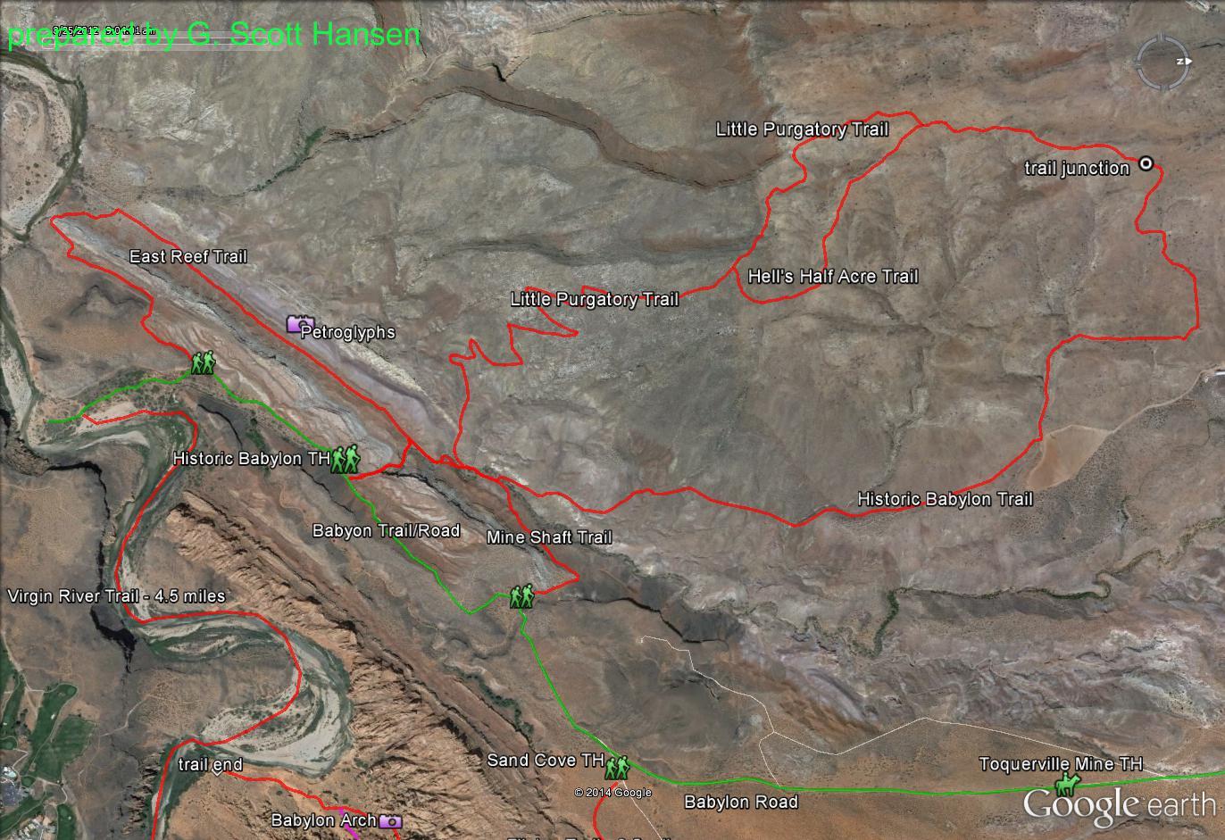
Historic Babylon / Little Purgatory

This Historic Babylon/Little Purgatory loop trail is accessed from the Historic Babylon trailhead off the southern portion of the Babylon Road. Travel to this point should be made in a high clearance vehicle or 4WD once you’ve passed the turnoff to Sand Cove. Dinosaur tracks and Indian petroglyphs can be easily accessed from the trailhead parking area. The main trail consists primarily of a single track, dirt trail that is rocky in parts with a section of old two-track near the northern part of the loop. The total distance from the trailhead to the return point is about 5.6 miles. Although the loop trail can be hiked in either direction, hiking or riding it in a counter-clockwise direction would be easier as the rate of climb is gentler starting with the Historic Babylon trail. The elevation gain to the highest point is about 900 feet with a total up and down elevation change of about 2400 ft. The Historic Babylon trail climbs about 2.8 miles up to a ridge at the north end where it becomes the Little Purgatory trail. From this high point, great, nearly 360-degree views are had of Zion National Park, Gooseberry Mesa, the Hurricane Cliffs, Sandstone Mountain, the Pine Valley Mountains, the Cottonwood Canyon and LaVerkin/Black Ridge wilderness areas, the Beaver Dam Mountains and portions of Arizona as well as interesting geological formations along the way. The trails are marked with trail signs and a few cairns in some of the rocky areas. A leisurely hike time start to finish would be about 3 – 4 hours, plus stopping time. Overall, this moderately difficult, total loop trail is suitable for hikers and equestrians but offers difficult challenges for bikers including a half mile of steep, rocky switchbacks near the south end of the Little Purgatory trail. The trails lie almost entirely on lands administered by the Bureau of Land Management within the Red Cliffs NCA.
-
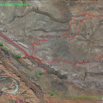
- This map shows how the Mineshaft trail starts and ends with the Babylon Road and the Historic Babylon trail.
-
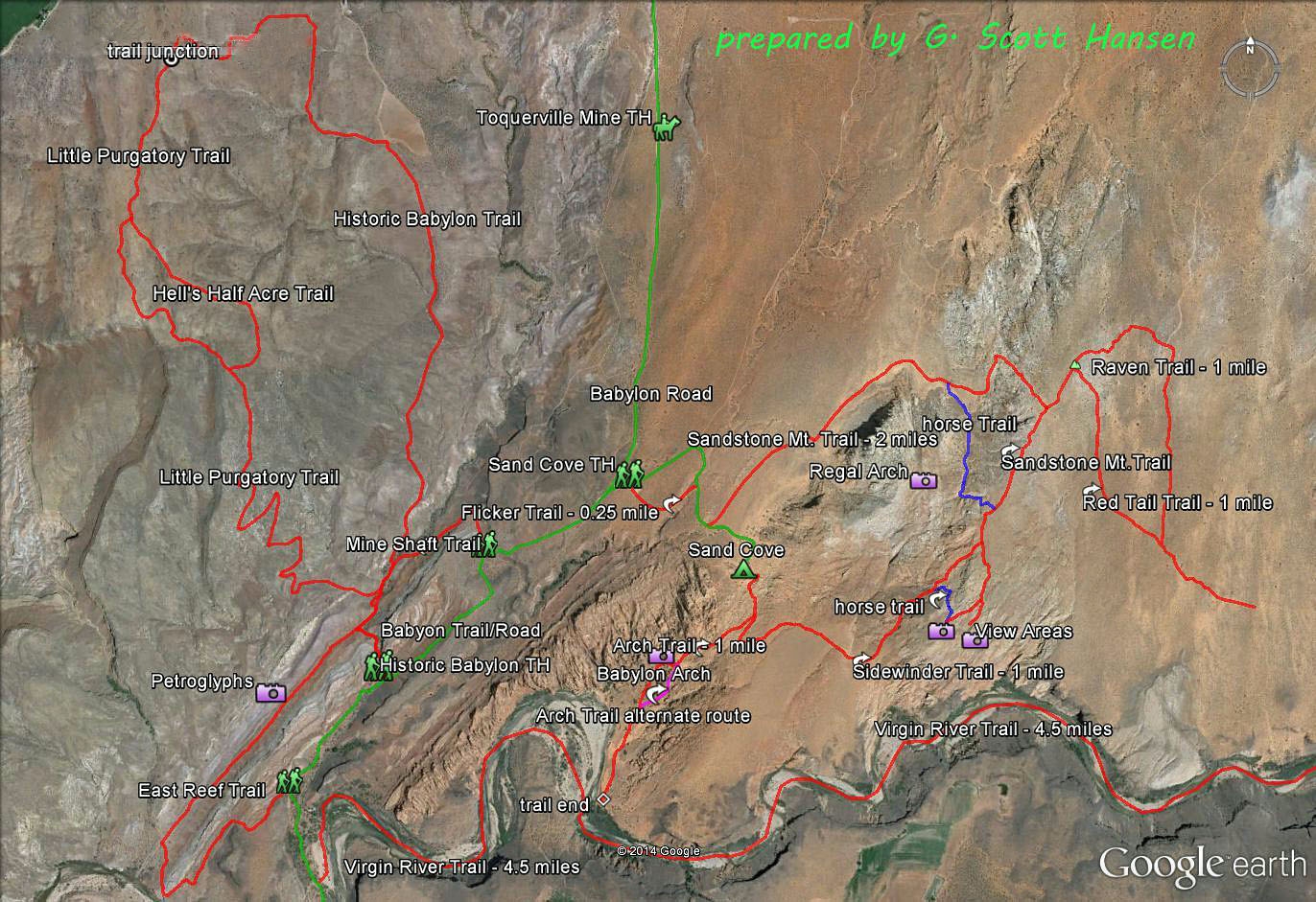
- The Babylon Area Map shows the relationship of the Virgin River trail with all other trails in the Babylon complex.
-

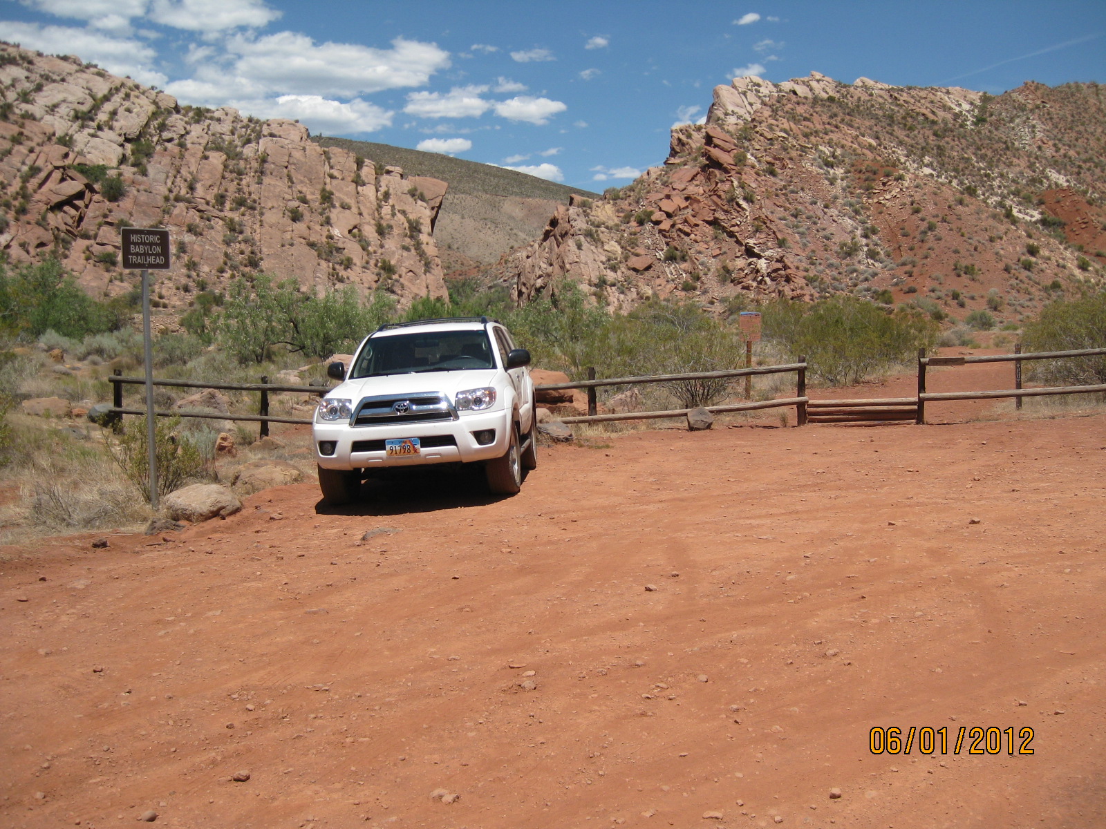
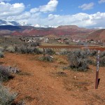
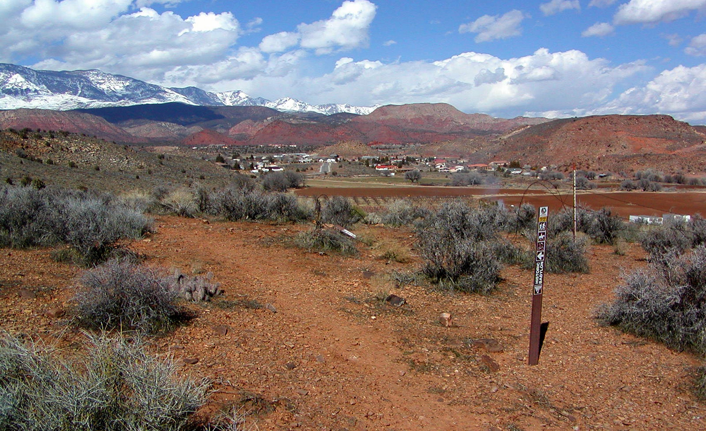
- Historic Babylon trailhead lies adjacent to Babylon Road and can accommodate three or four vehicles
-
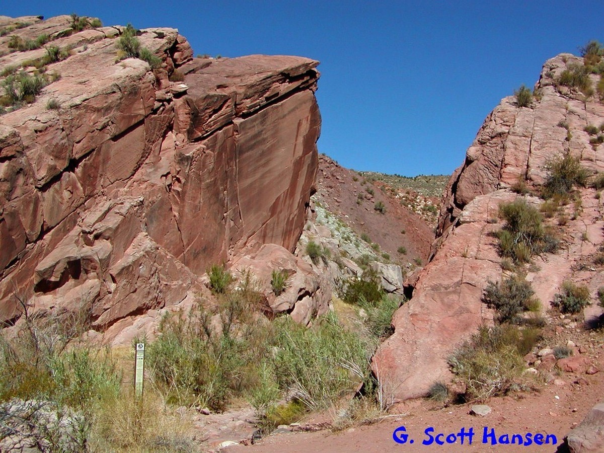
- The Gap serves as an enjoyable gateway to the main portion of the trail
-
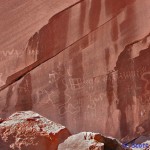
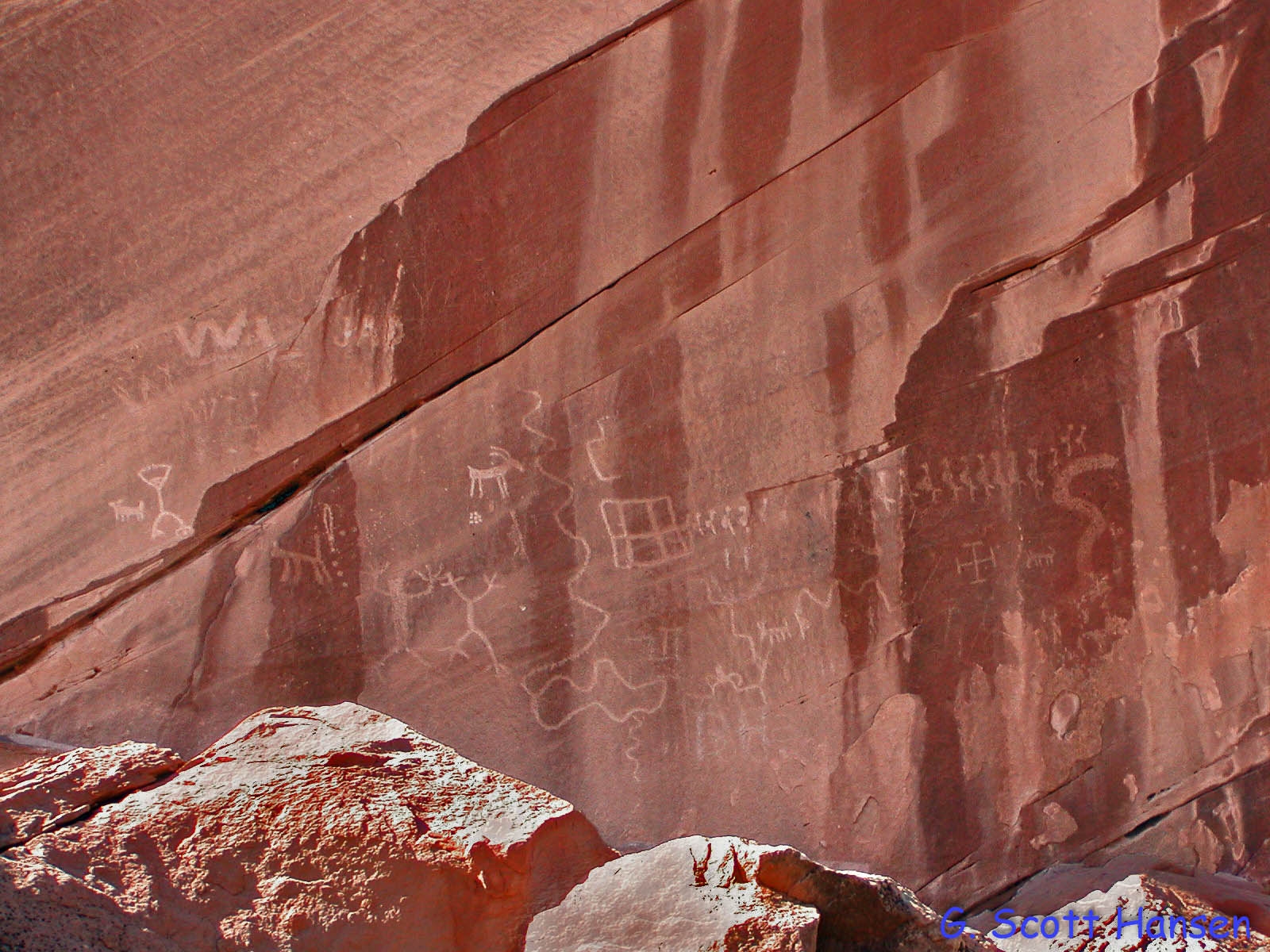
- Ancient petroglyphs are found partway through the Gap on the south side of the trail
-
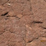
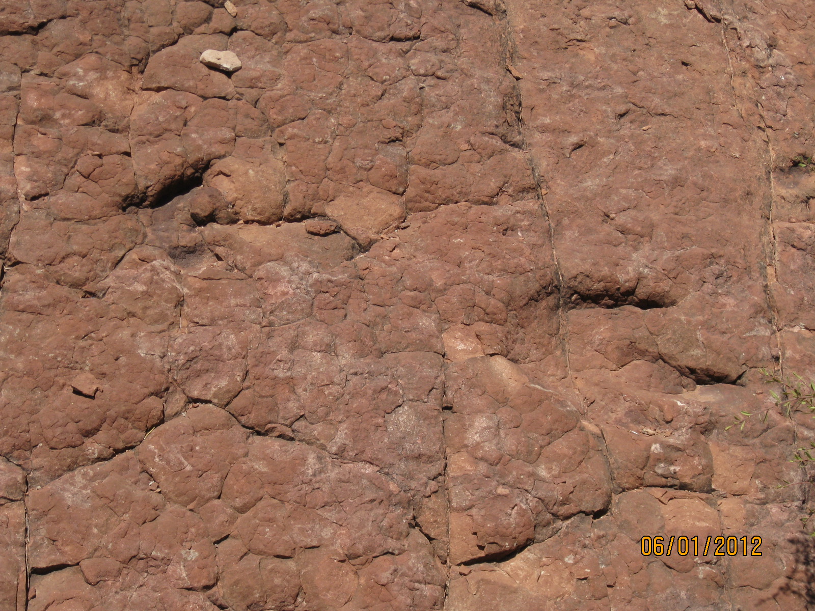
- Ancient dinosaur tracks may also be found shortly before entering the Gap to the north and to the south
-
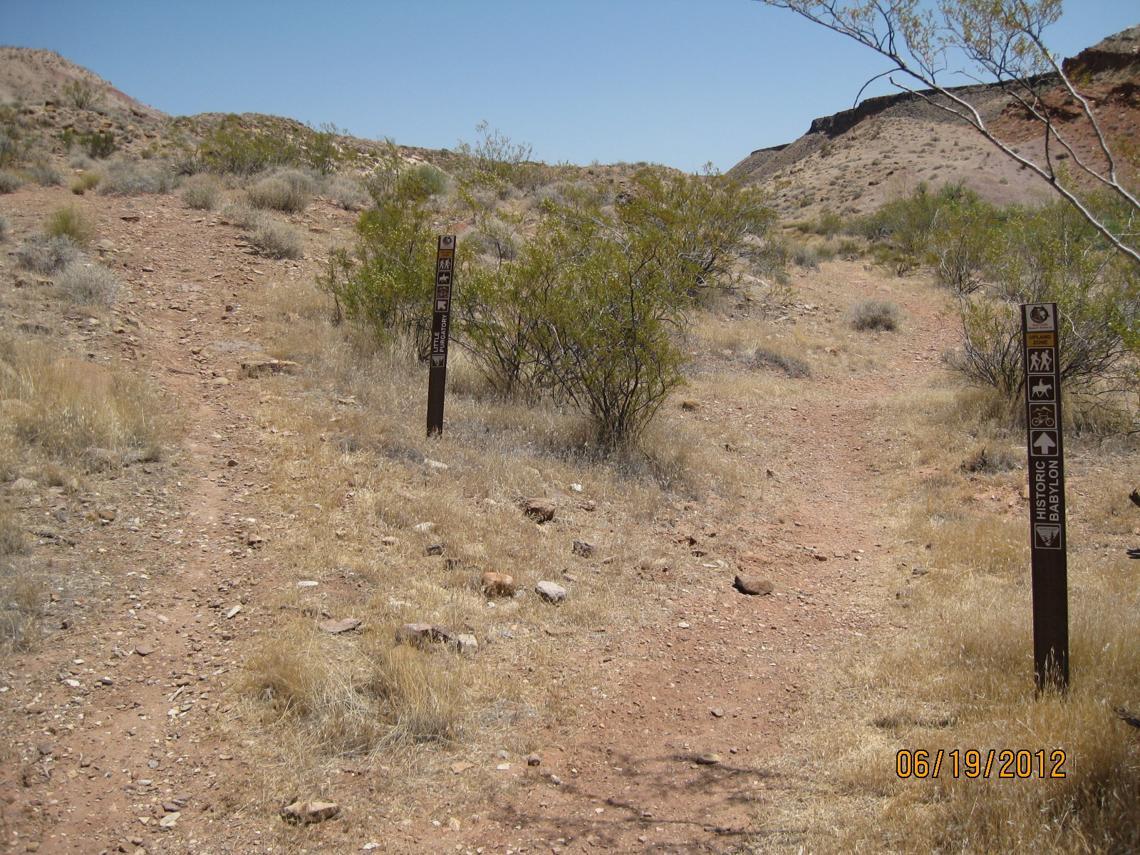
- After leaving the Gap, Historic Babylon trail breaks off to the north on an old two-track mining road
-
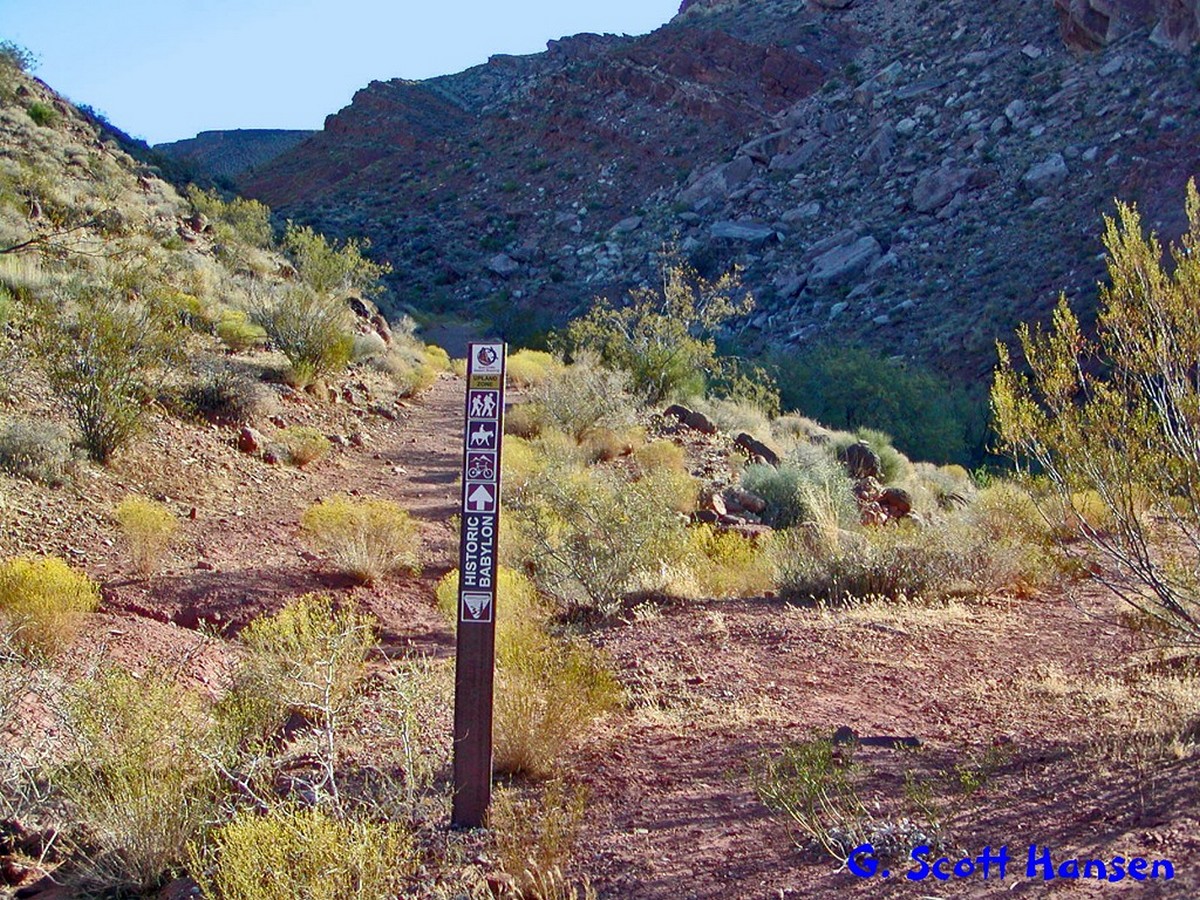
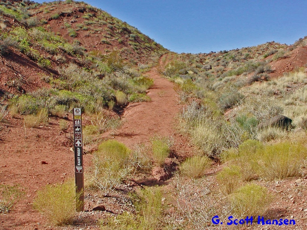
- Visitors may access the north end of the East Reef trail by heading south out of the Gap
-
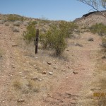
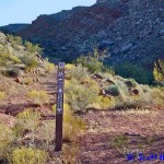
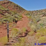
- Partway up the Historic Babylon trail, visitors reach the east junction with the Little Purgatory trail
-
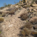
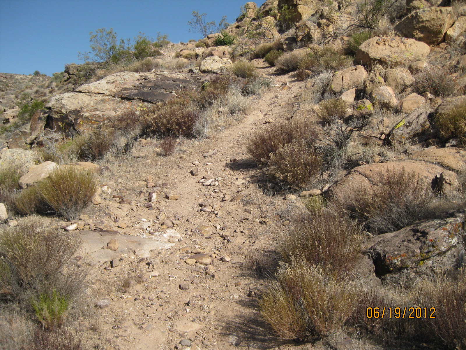
- Portions of the Historic Babylon trail involve rocky substrates on sloping areas
-
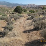
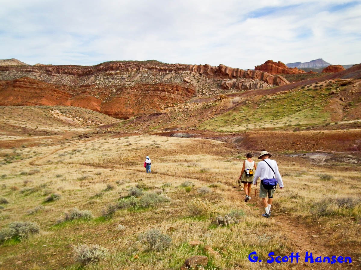
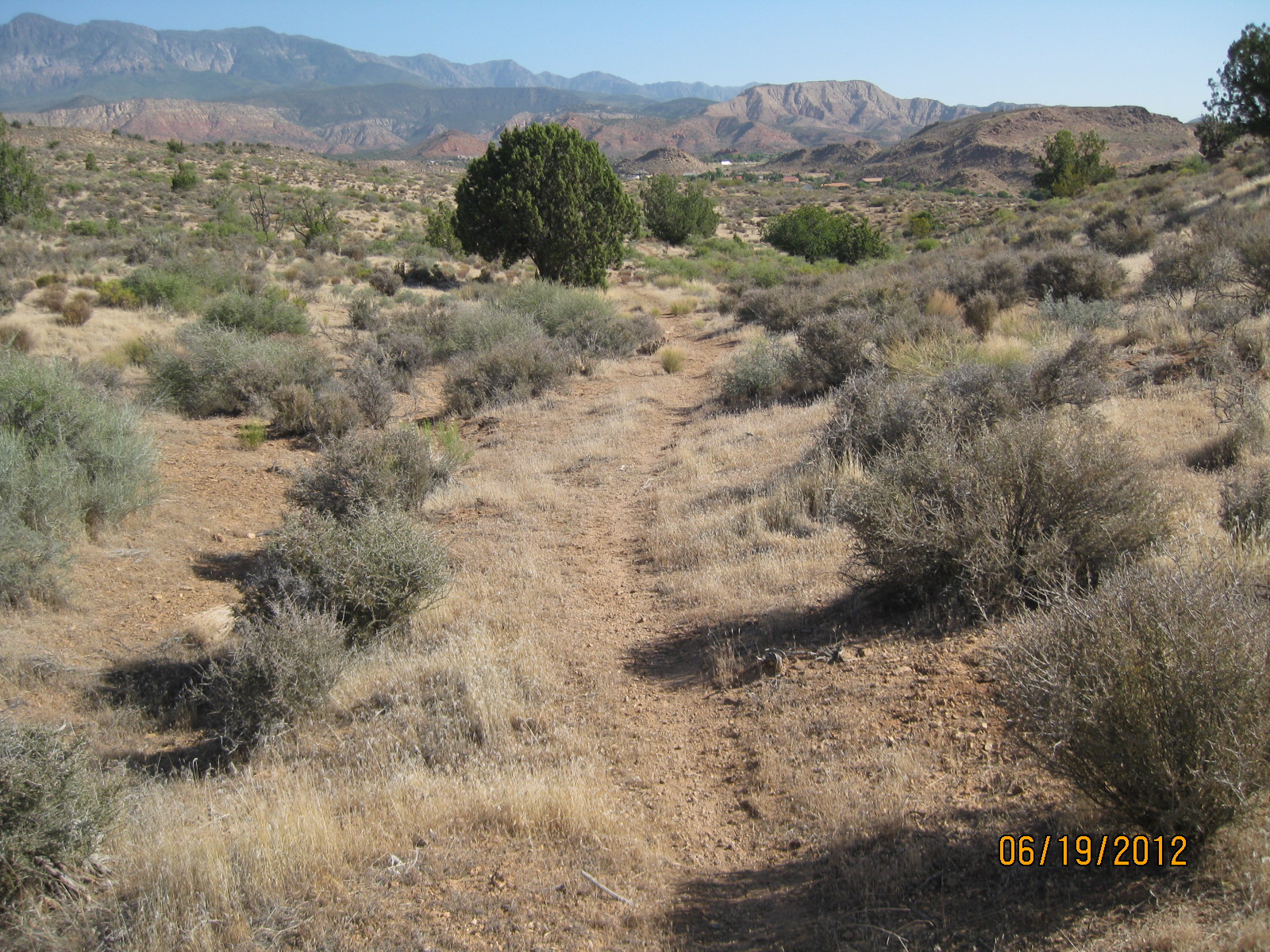
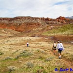
- Other segments on the trail include single tracks through desert grass lands
-
- At its west end the trail nears private lands and agricultural developments
-
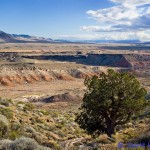
- Exceptional views from the high point of the trail include this view to the south showing the Virgin River canyon
-
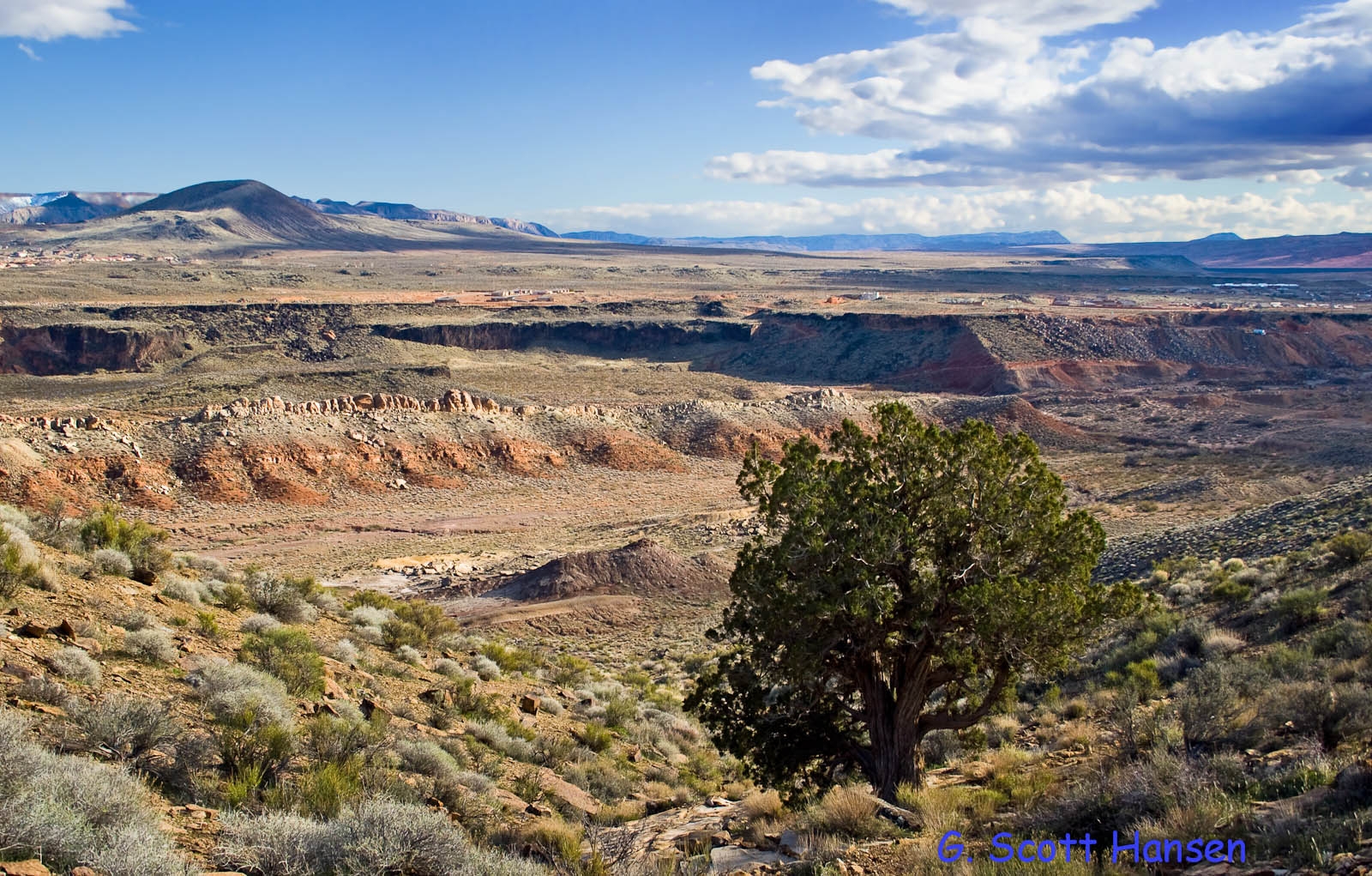
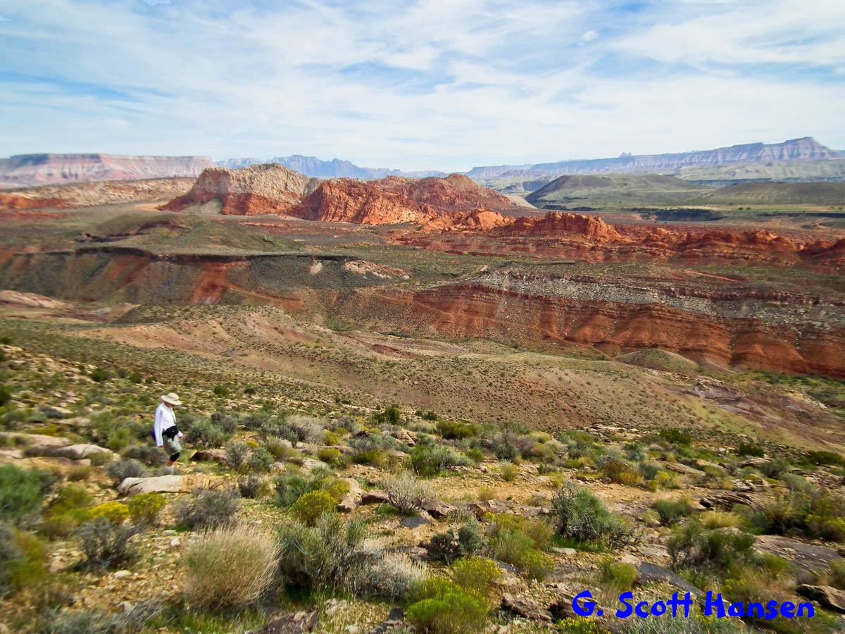
- Views to the east include the spectacular Sandstone Mountain complex
-

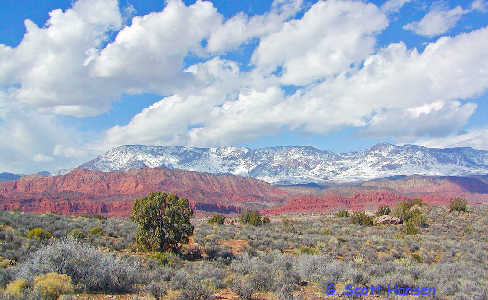
- Views to the west include outstanding views of the Pine Valley Mountains and the adjacent red rock canyons of the Cottonwood Canyon wilderness area
-

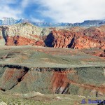
- The Little Purgatory trail includes a series of switchbacks dropping from the higher elevations and includes some rough patches of loose, rocky terrain
-
- The Little Purgatory trail ends on the east through desert grass lands before reconnecting with the Historic Babylon trail