Ice House

The Ice House trail is a moderate, 5.8 mile trail that traverses the Broken Mesa from a trailhead off Forest Road 902 south of the Danish Ranch Road to the junction with the Middleton Powerline trail. The trail may also be accessed from the Broken Mesa trail that junctures with the trail about mid-point. The trail begins as an old 2-track which gradually peters out to a single-track, dirt path before reaching Mill Creek and then continues across the mesa. A 100 foot elevation gain is dwarfed by a total elevation loss of about 1,860 feet, the majority being a gradual decent across the mesa with a drop of about 400 feet the last 0.5 mile. The lower trailhead junction off of the Middleton Powerline trail is reached from the Mill Creek trailhead. The trail is bike and equestrian friendly except for the last 0.5 mile because of the steep descent on lava rock.
The Ice House Trail is an historical feature used by early white settlers to bring ice down into the Washington and St. George communities from a storage pit located higher up in the Pine Valley Mountains. The trail itself is not particularly exciting but does offer some nice views in all directions. Below the National Forest, all but the last half mile lies on lands administered by the Bureau of Land Management within the Red Cliffs NCA.
-
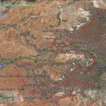
- This area map shows the Ice House trail and its relationship to all other trails in this part of the Reserve/NCA.
-

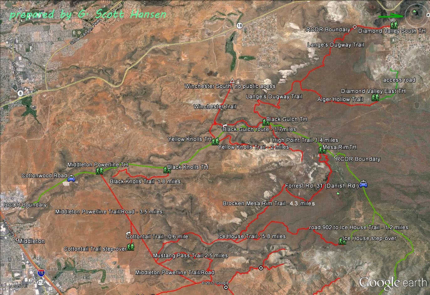
- This map shows the Ice House trail and its linkages to adjacent trails.
-

- Ice house trail starts at the south end at this junction with the Middleton Powerline Road
-

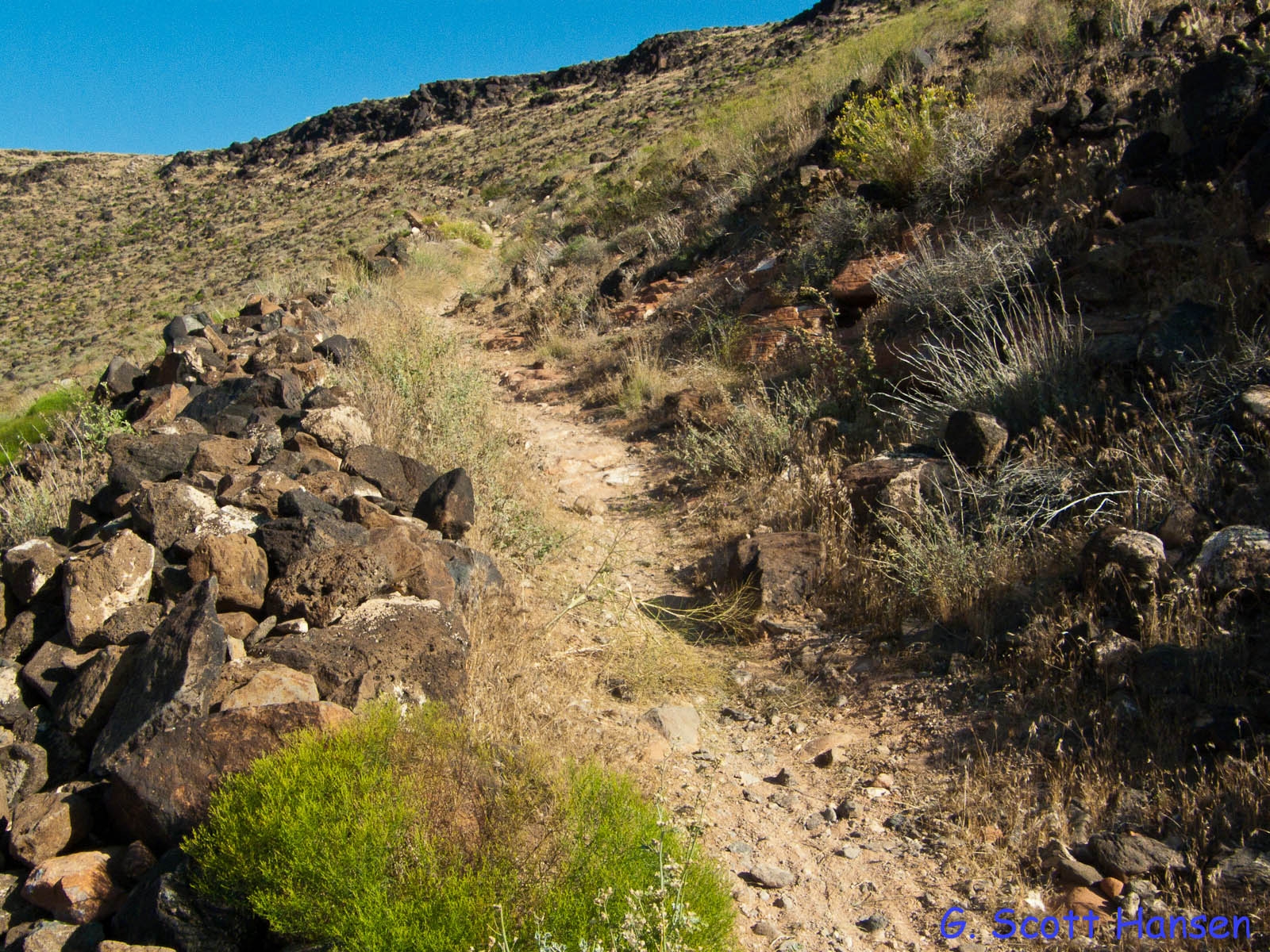
- Trail initially climbs toward the Broken Mesa Rim
-
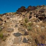
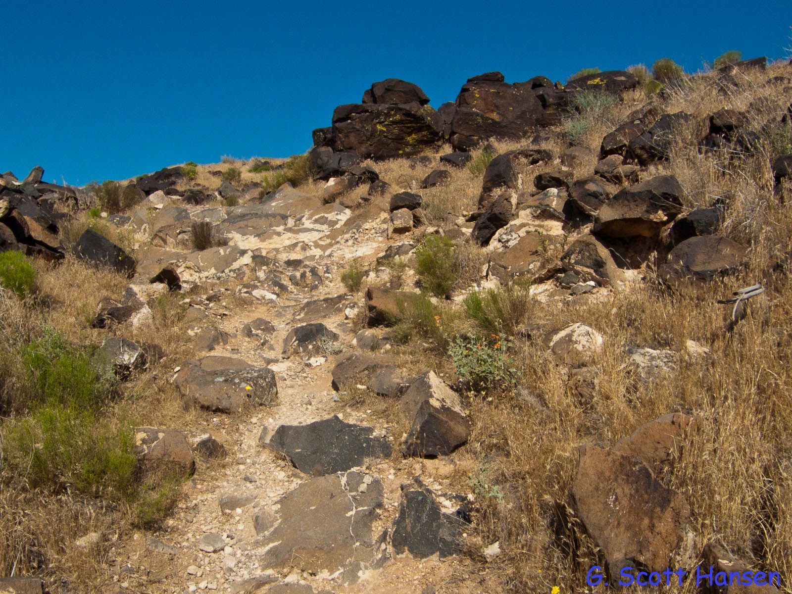
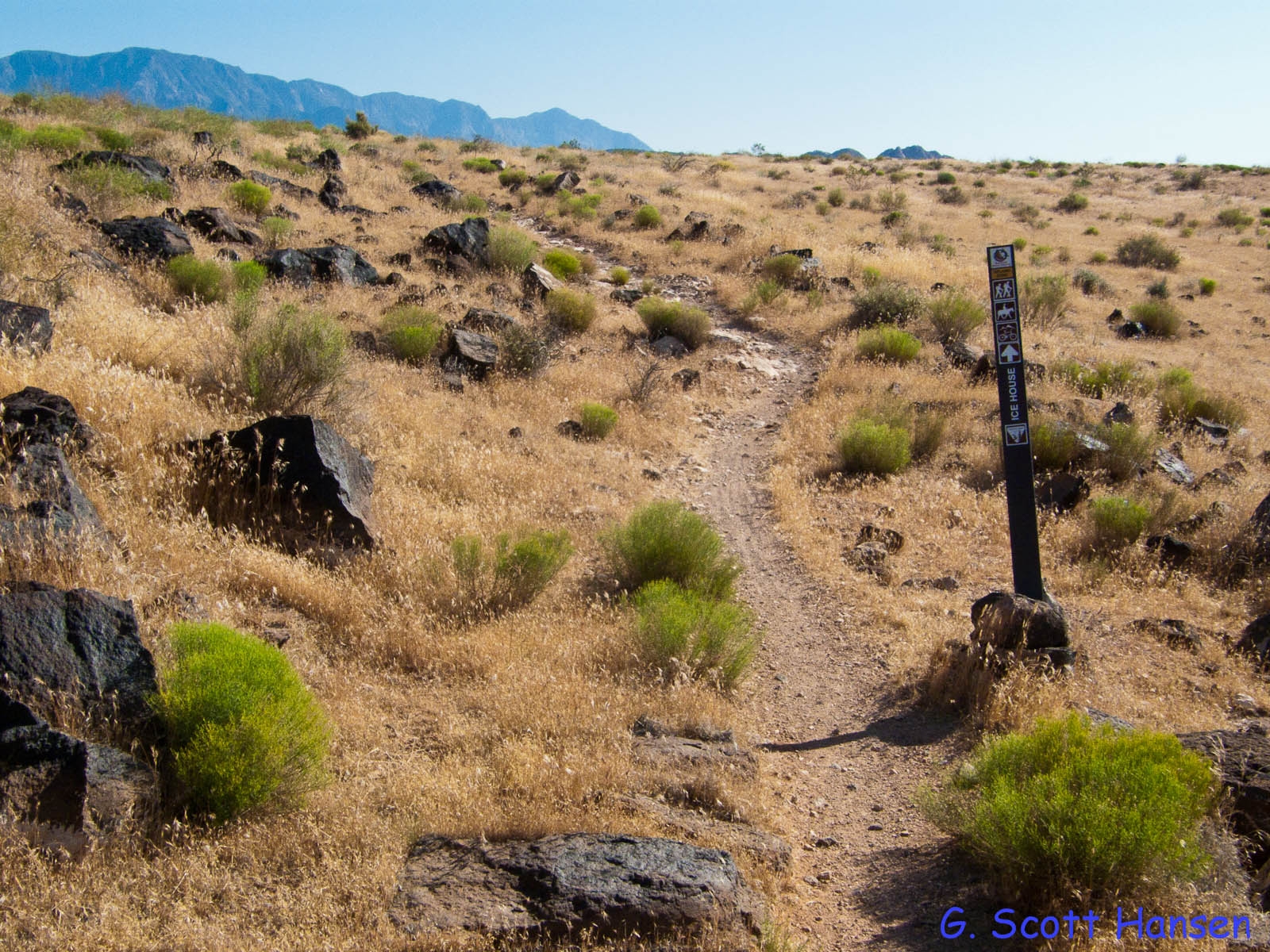
- Trail runs through lava boulders near the mesa top
-
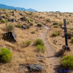
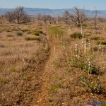
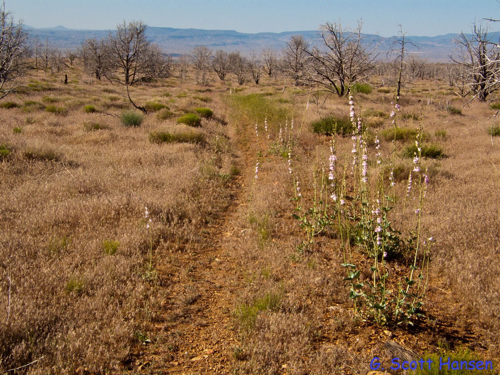
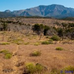
- Trail continues across the mesa top
-

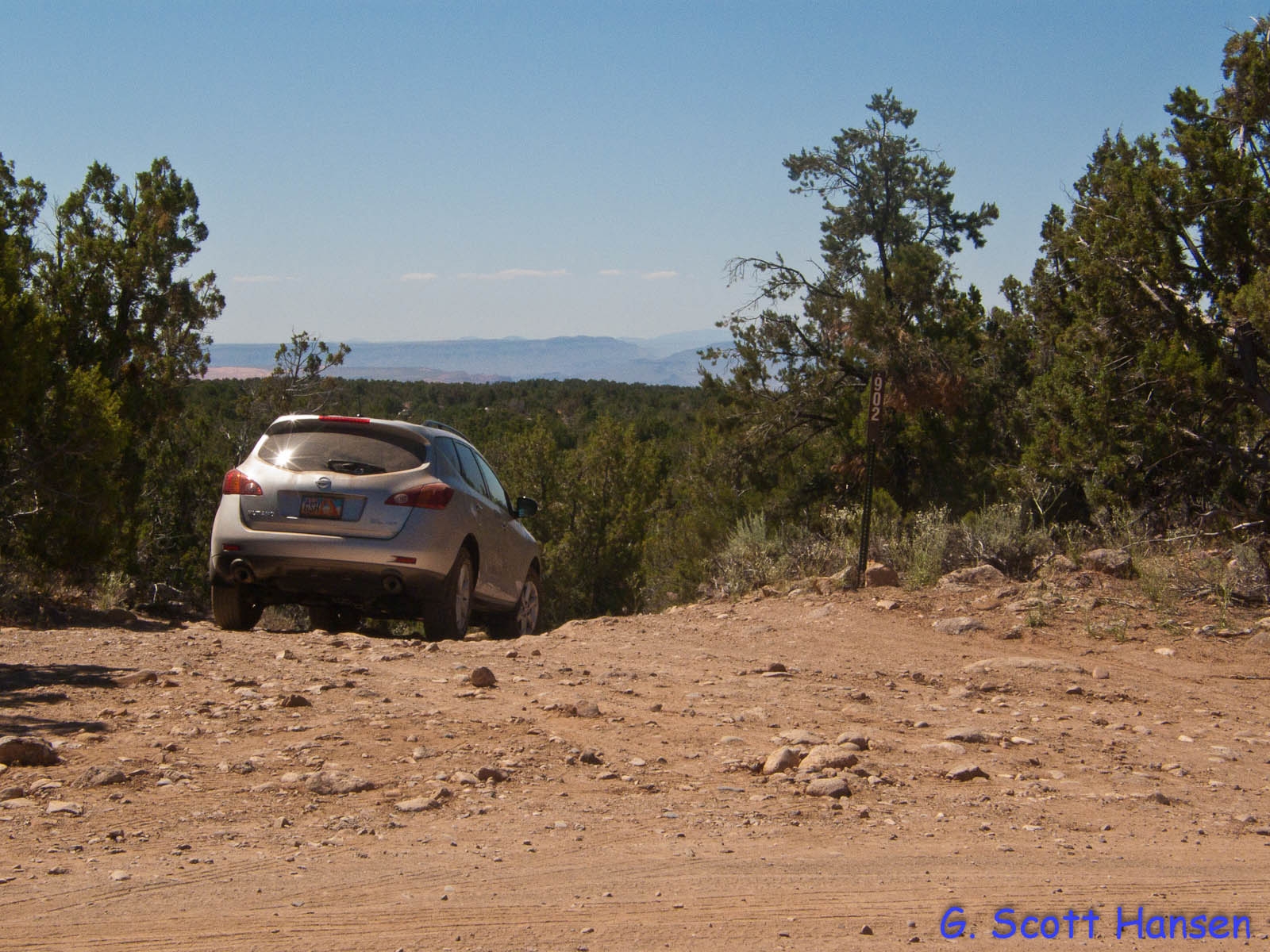
- From the north, the trail is accessed by Forest Road #902 off the Danish Ranch Road
-
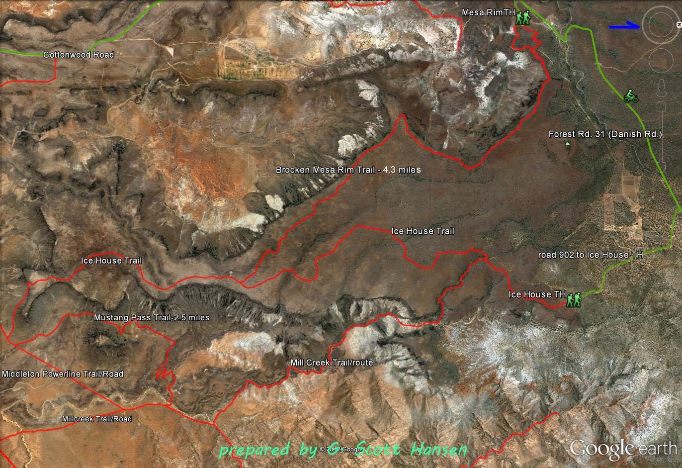
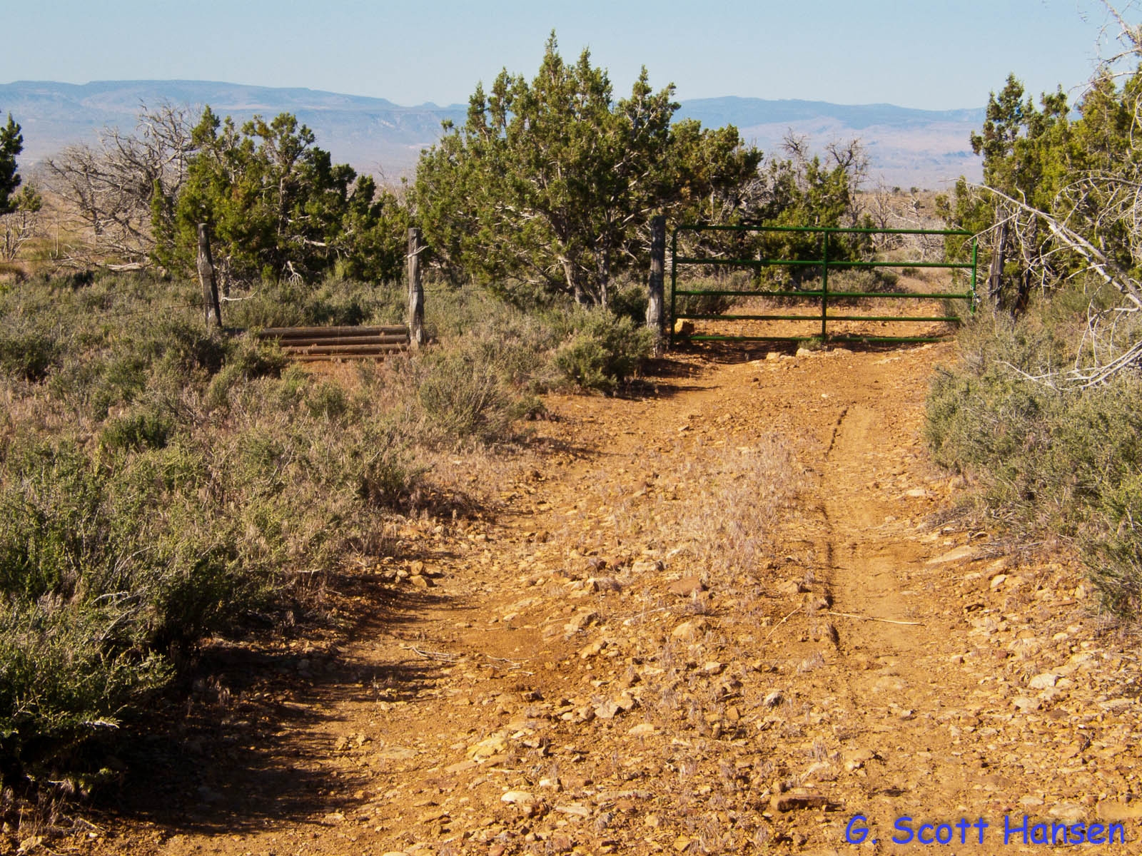
- Forest Road #902 takes visitors to the step-over at the Forest Service/BLM boundary
-
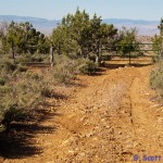
- Trail becomes a dirt, single-track through a burned area
-
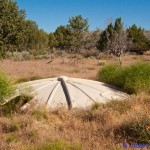
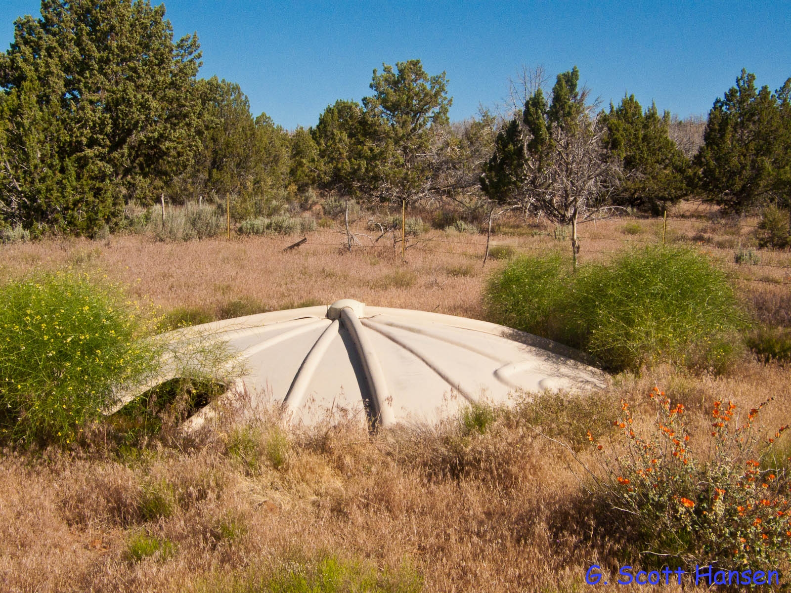
- A wildlife guzzler can be seen in the forested area. Please respect this important habitat feature.
-
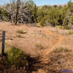
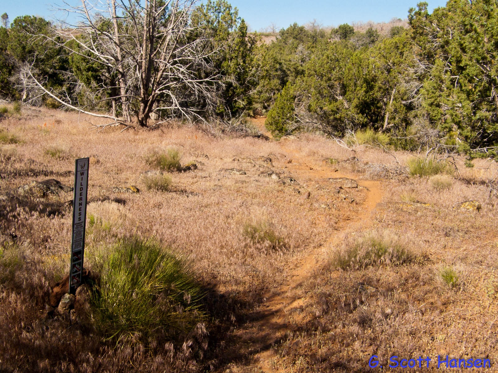
- The Ice House trail marks the west boundary of the Cottonwood Canyon wilderness area
-
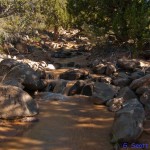
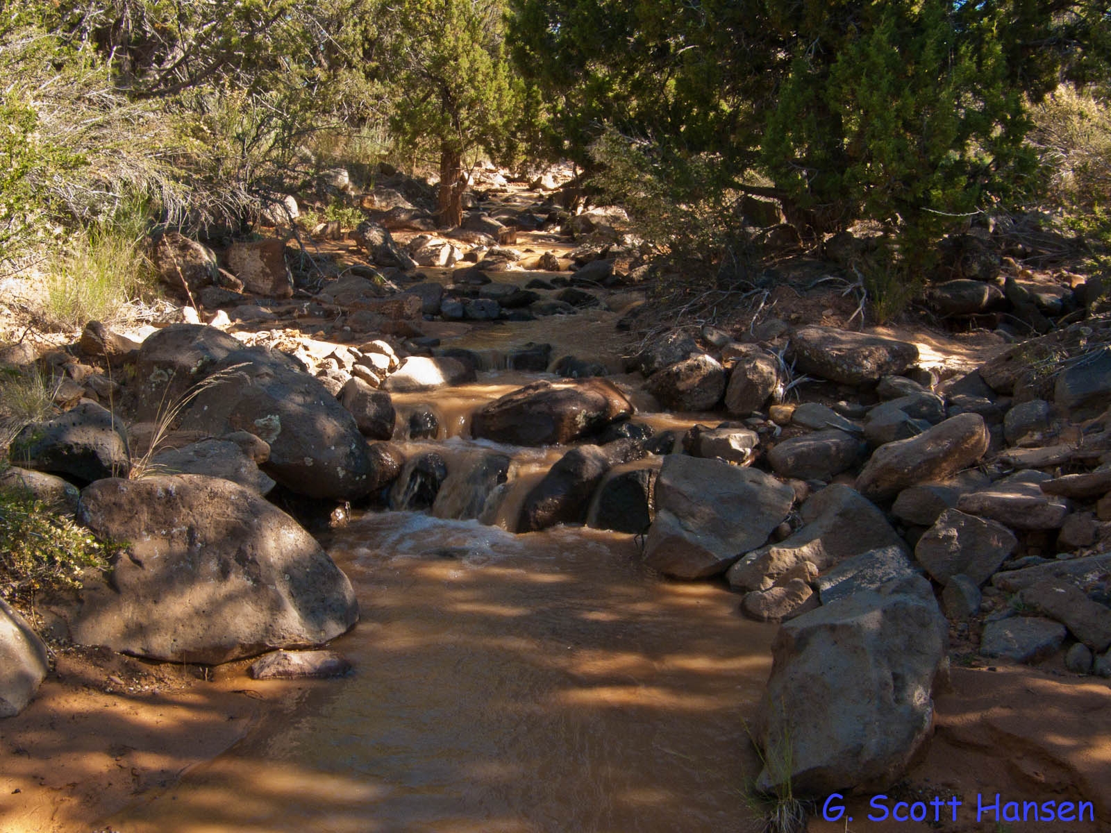
- The trail crosses the upper portion of Mill Creek, which carries water during parts of wet years
-
- Trail passes through forested areas, burned areas, and cheat grass fields before dropping off to the low-land areas below the mesa