Mustang Pass
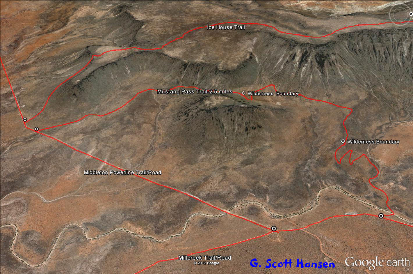
 This easy, 2.8 mile trail may be accessed from two points. The southern trail access is from the Middleton Powerline trail. The northern trail access is from the Mill Creek trail. The total round trip from the Mill Creek trailhead is about 6.8 miles. The trail from the south is a single track, dirt trail with a 350 foot climb to the pass. From the pass the single track dirt trail continues across some desert grasslands (mostly cheat grass, now, unfortunately) and then descends gradually via several switchbacks to the northern junction with the Mill Creek trail. The elevation at the Mill Creek trail junction is about 25 feet higher than the southern trail junction with a total up and down elevation change of about 800 feet. Since this trail is fairly remote and not heavily used, there are a couple of short sections through the grasslands where the trail nearly disappears.
Bikers and equestrians should find the trail quite friendly. The northern section of the trail provides some nice views to the north and east. However, the almost 7 mile hike has limited attraction for most hikers. All but the southern end of the trail crosses lands administered by the Bureau of Land Management within the Red Cliffs NCA.
-

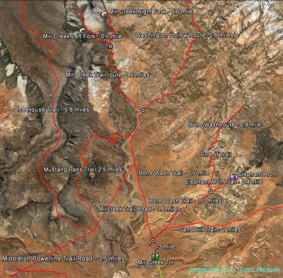
- The Mustang Pass trail map showing all trail linkages in the Mill Creek area
-
- Map shows linking trails to Mustang Pass
-
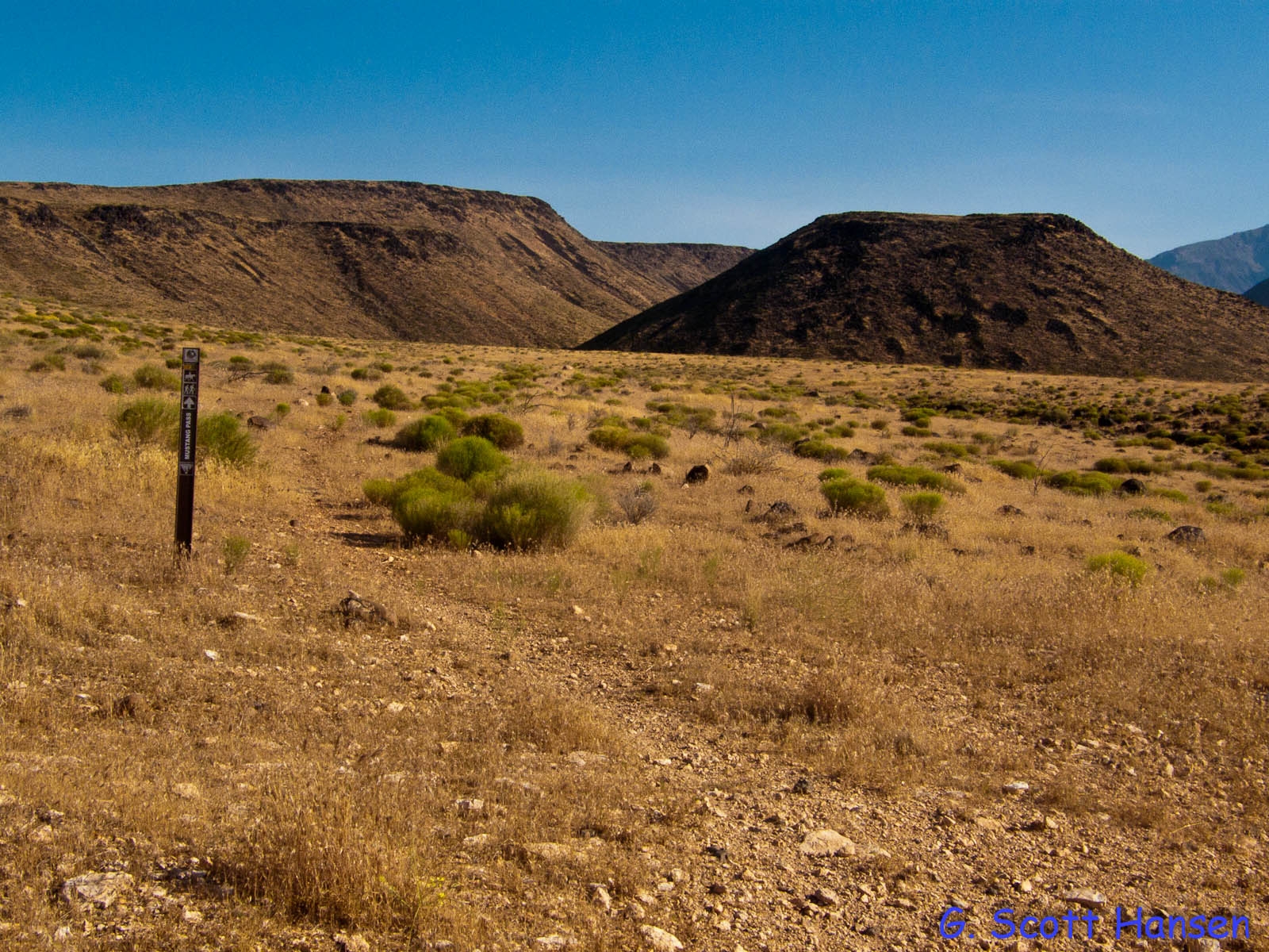
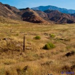
- At the south end, the trail begins at the Middleton Powerline Road
-
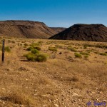
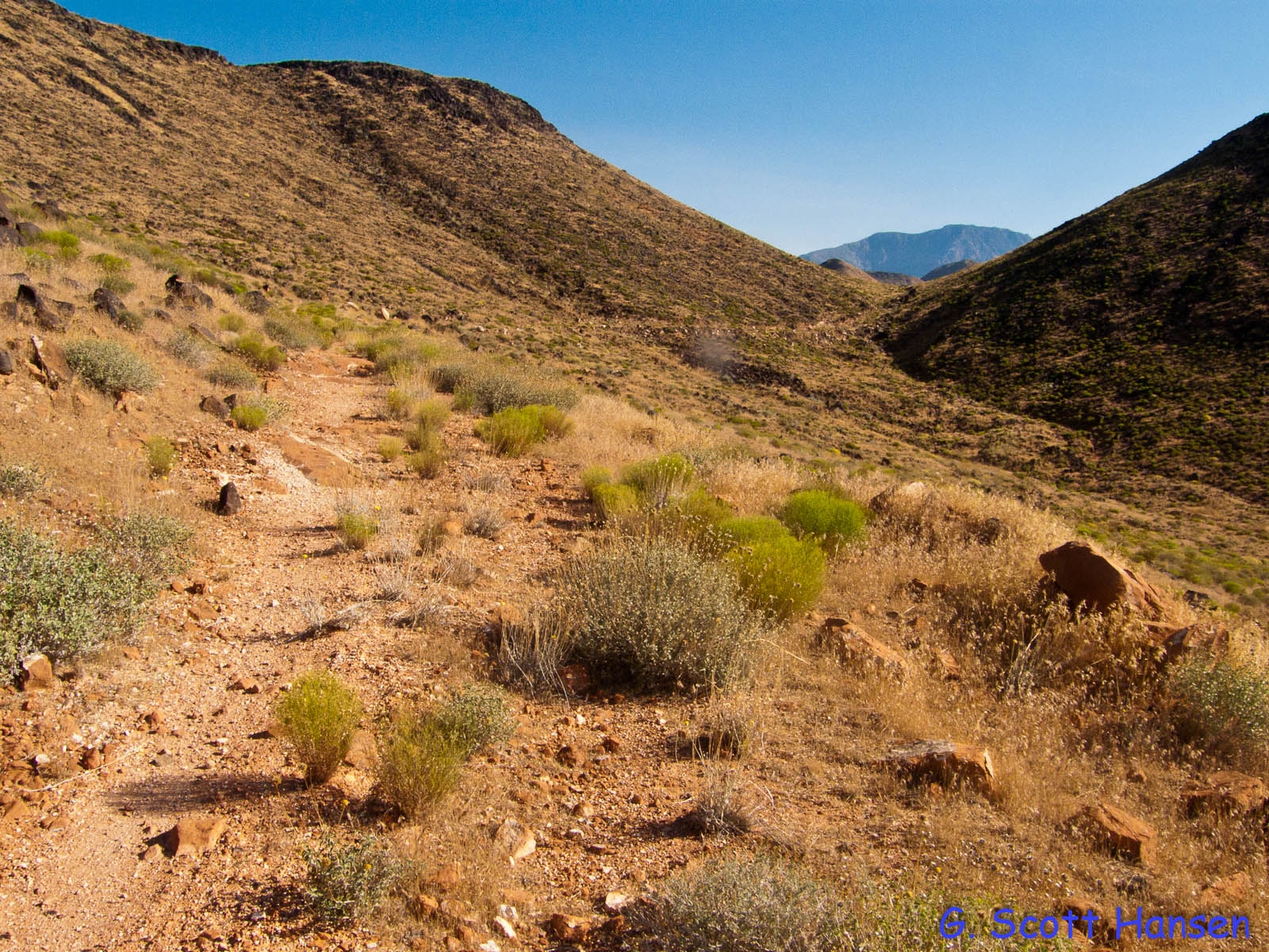
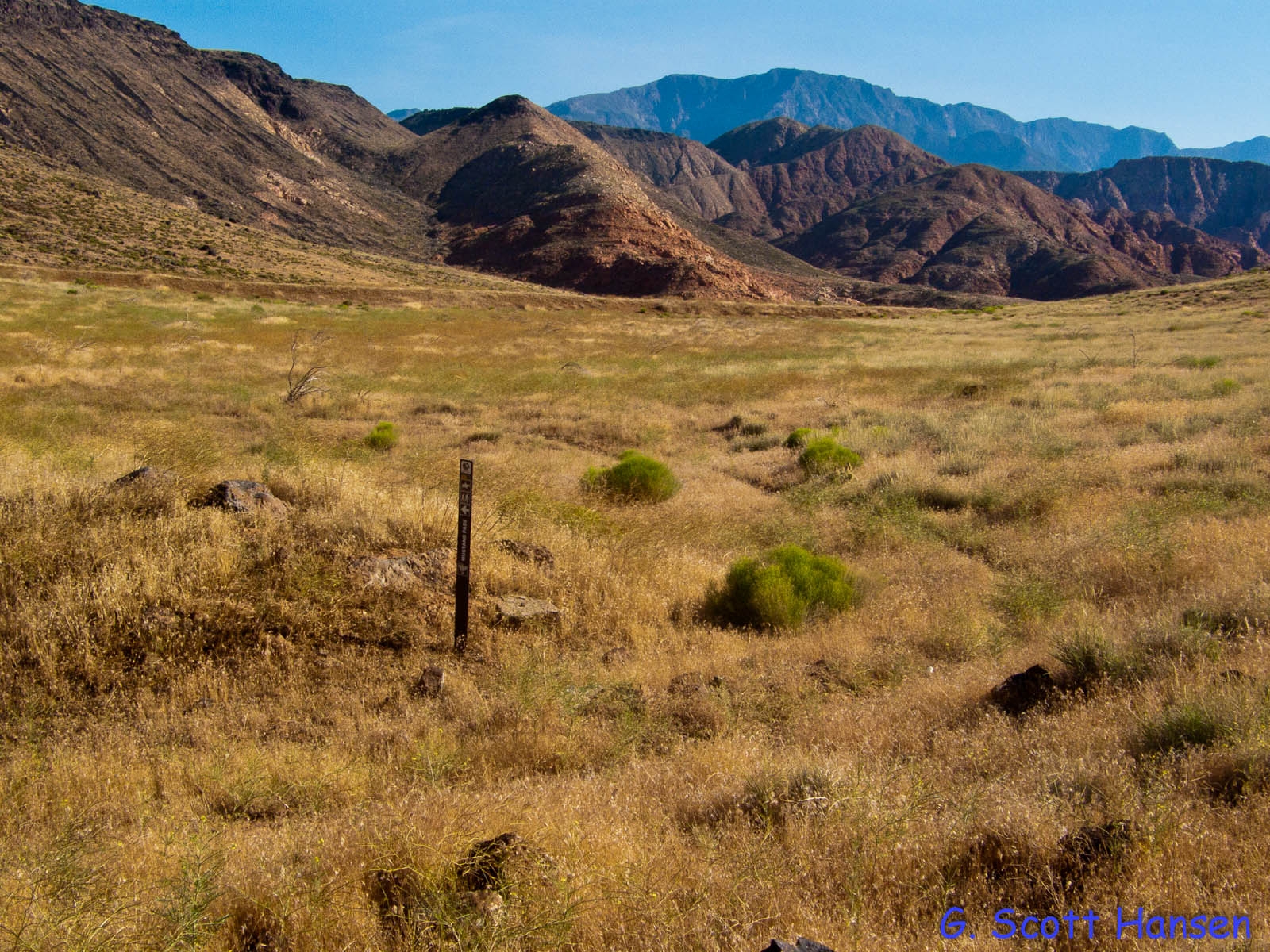
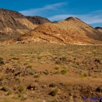
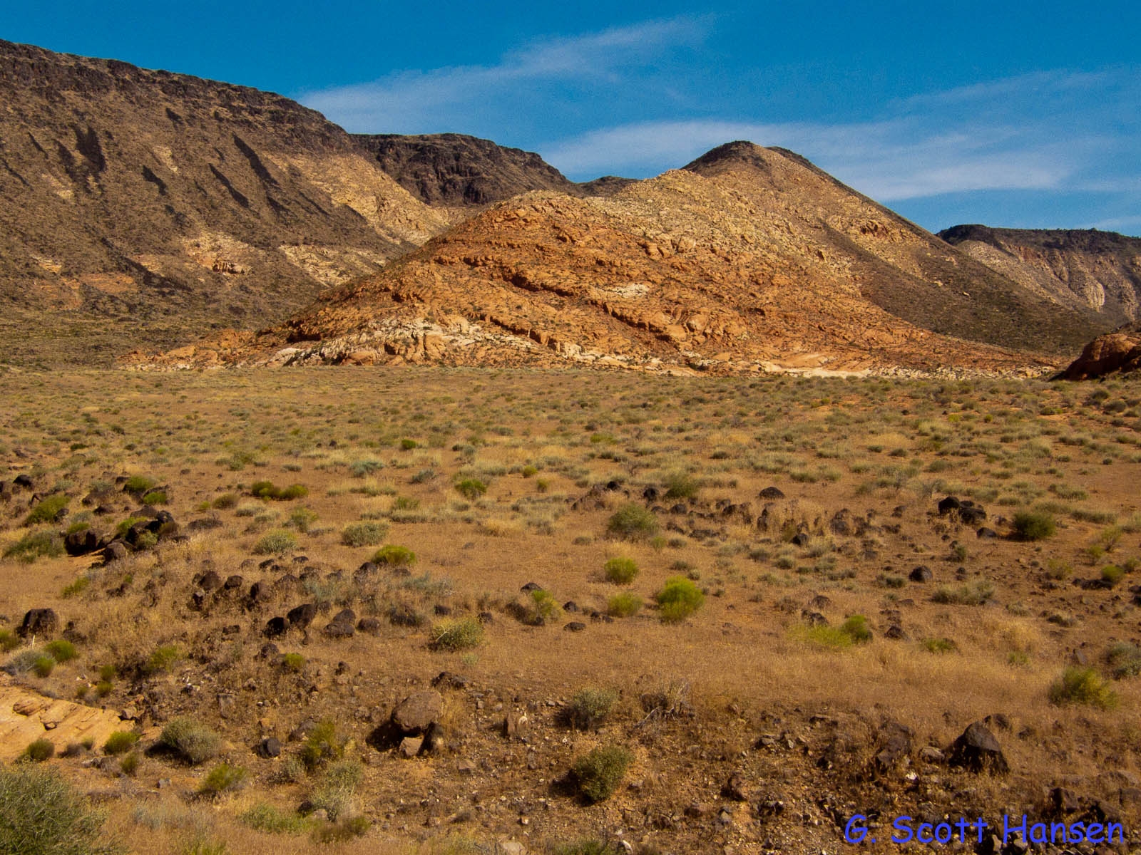
- From its start, the trail moves up to the pass between the mesa and the butte
-
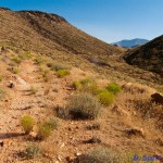
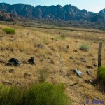
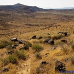
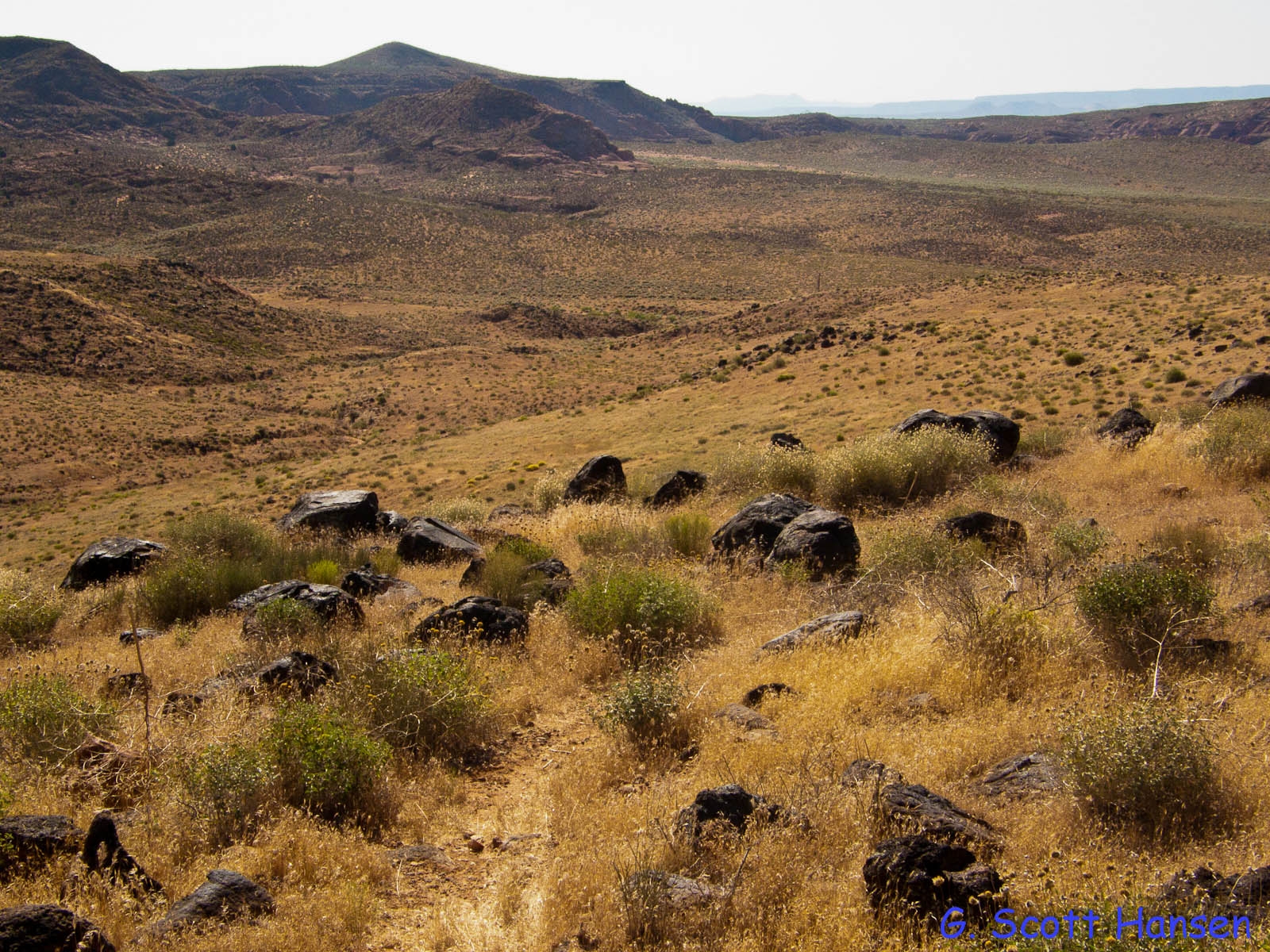
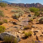
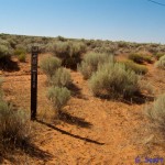
- The trail moves north through grasslands, often overcome with cheat grass
-
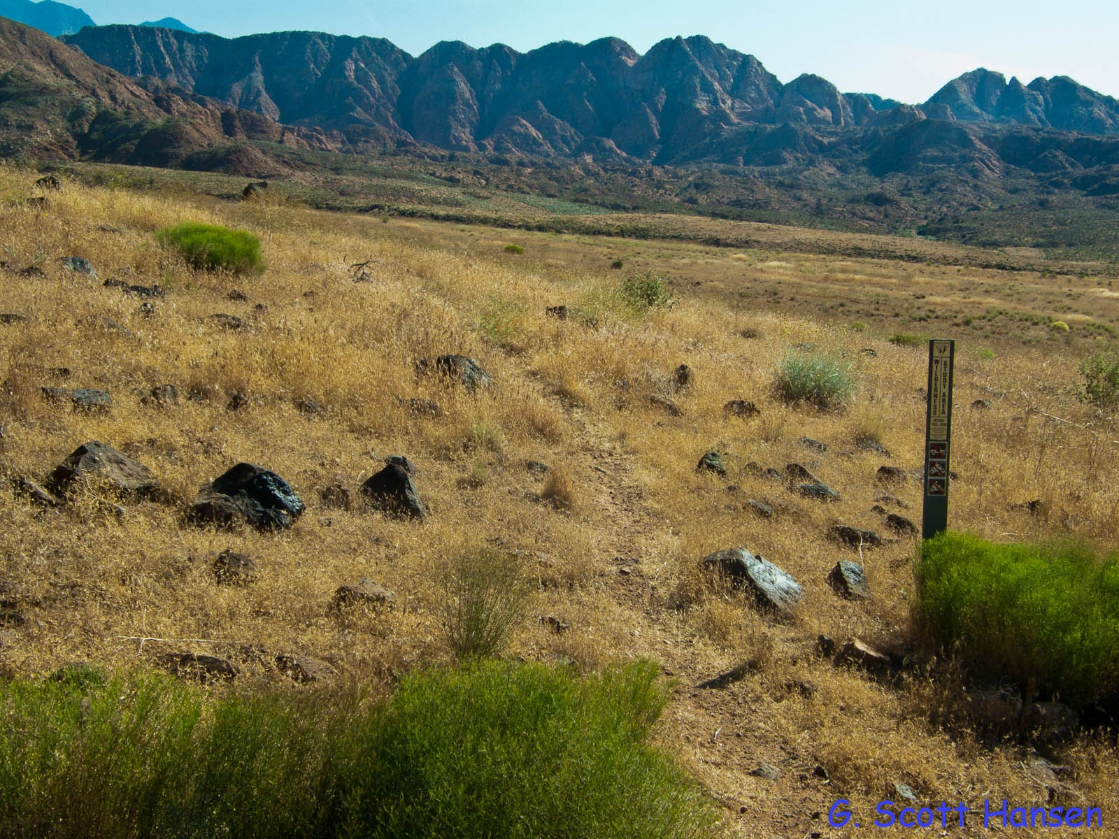
- A small portion of the trail cuts through the corner of the Cottonwood Wilderness area
-
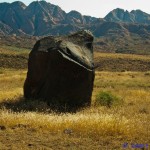
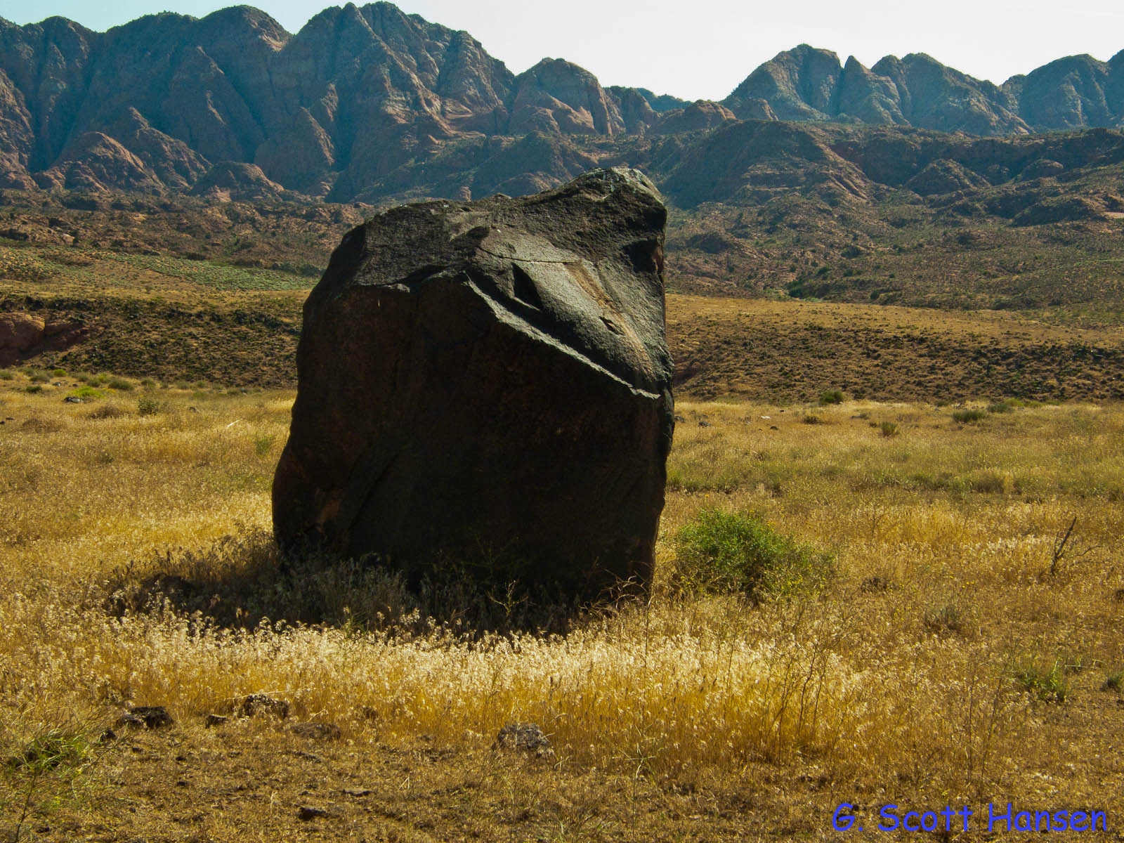
- The trail passes by Signal Rock
-
- The trail heads back down to the valley floor
-
- Views to the north from the trail show portions of the Cottonwood Canyon wilderness area
-
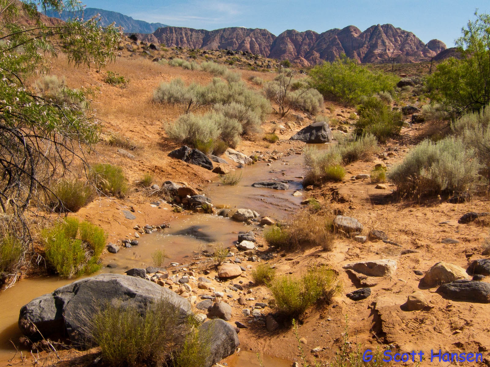
- Here the trail crosses the lower part of Mill Creek
-
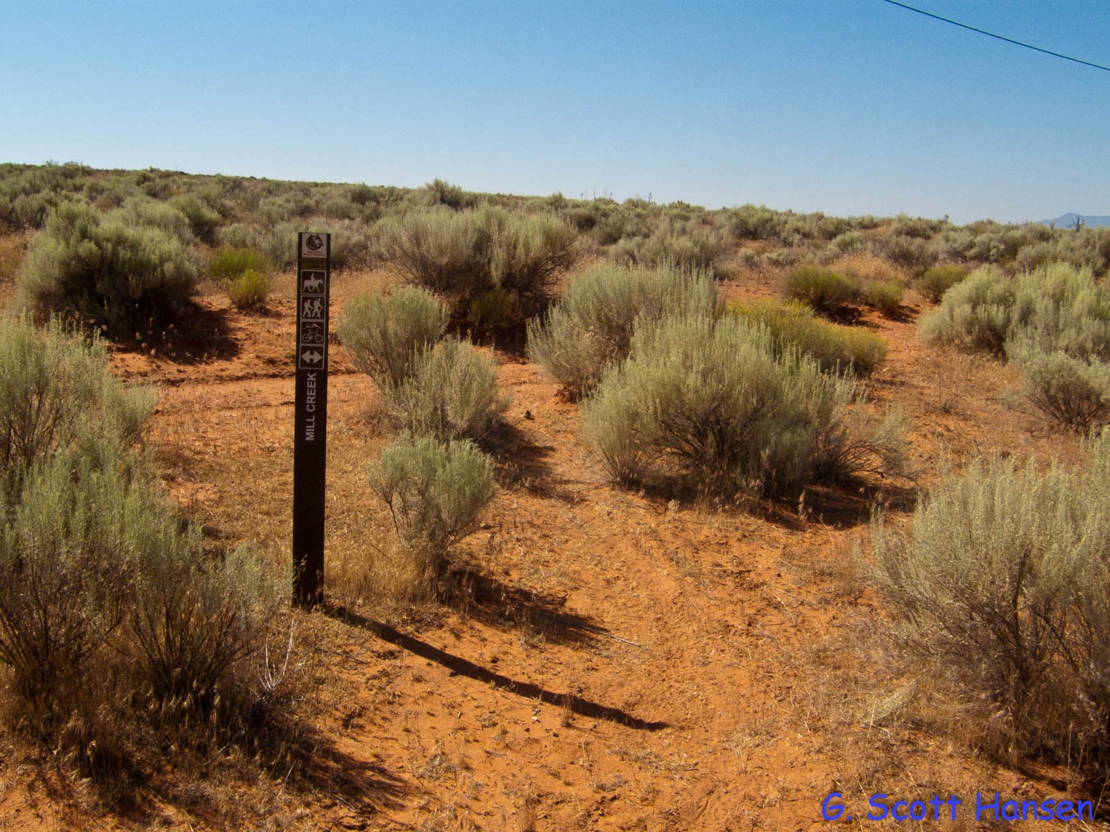
- At its north end, the trail intersects with the Mill Creek trail