Prospector
At its west end, the Prospector trail starts at its junction with the Grapevine trail about ¾ mile from the Grapevine trailhead and proceeds another 6 ½ miles to its terminus behind the historic Orson Adams House in the Red Cliffs Recreation Area. With numerous ups and downs of moderate difficulty, the trail is most often level over easy, single-track dirt and gravel and makes for excellent biking, hiking, and horseback riding. Small patches of slickrock and sand are encountered in the middle sections. Portions of the trail parallel Interstate Highway 15 which expose visitors to traffic views and noise, but good views are provided by the cliffs, rock formations, and mountains to the north. The trail is very popular with bikers and equestrians and is accessed primarily out of the Cottonwood, Grapevine, and White Reef trailheads. Some bikers choose to come through the I-15 underpass near Church Rocks which crosses private lands with no easement at this time. The trail makes several significant connections with other trails that allow for a large variety of loops for each of the various user groups. These include Church Rocks, Bracken’s Loop, Spanish Wash, Cottonwood Hills, Cottonwood Canyon, and Grapevine with indirect connections to Dino Cliffs, Sand Hill, and the White Reef area system. The trail lies across lands administered by the Utah School and Institutional Trust Lands Administration on the southwestern part and on lands administered by the BLM within the Red Cliffs NCA on its northeastern part.
-
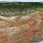
- Prospector trail map shows the trail from its southwest end off Grapevine to its northeast end at the Red Cliffs Recreation Area.
-
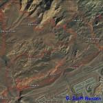
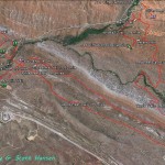
- This map shows linkages from the Prospector trail with numerous other trails in its southwestern portion.
-
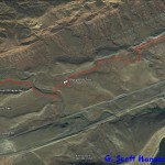
- This map shows the Prospector trail at its northeast end as it comes off the Cottonwood Canyon trail out of the Cottonwood trailhead.
-
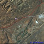
- This map shows important linkages to trails extending up into the Cottonwood Canyon complex and back to the northwest on Cottonwood Hills
-
- This map shows the relationship of the Prospector trail to numerous loop trails located in the Red Cliffs Recreation Area primarily accessed out of the White Reef trailhead.
-
- Access to the Prospector trail on its southerly end is made from the Grapevine trailhead and crossing through this gated stepover on the Grapevine trail.
-
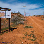
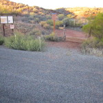
- The Prospector trail begins at this junction with the Grapevine trail approximately 3/4 mile from the trailhead parking area.
-
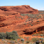
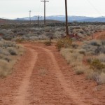
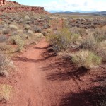
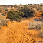
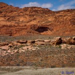
- The trail is primarily a single-track, dirt trail that winds through and around some interesting red rock formations near its southerly end.
-
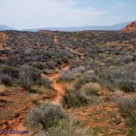
- The trail connects with the popular Bracken’s Loop trail through this desert scrub land. Moderate elevation changes occur through this portion of the trail.
-
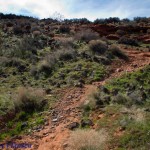
- The trail drops down this steep rocky slope as it nears the start of the popular Church Rocks trail.
-
- The Prospector trail intersects with the Church Rocks trail in two places, including this one at its southern end.
-
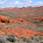
- Beautiful views of red rock formations and distant cliffs are common along this southern route.
-
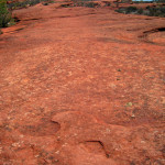
- Portions of the southern route include stretches of red slick rock which are popular with mountain bikers.
-
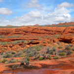
- The popular Church Rocks trail is seen here on top of the red bluffs and forms a challenging loop for bikers and hikers alike.
-
- As the trail continues to the northeast, it becomes a single-track, dirt trail throughout the balance of its length.
-
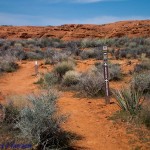
- The trail intersects here with the Spanish Wash trail which provides the option of loop hikes or rides with the Cottonwood Hills and Coachwhip trails.
-

- The trail breaks away from the Cottonwood Canyon trail at this intersection and heads due north towards the Red Cliffs Recreation Area.
-
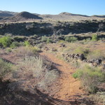
- Portions of the northern trail run through black lava rock country with modest ups and downs.
-
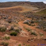
- The trail also winds through interesting valleys such as this one with various vegetation types and surrounding views.
-
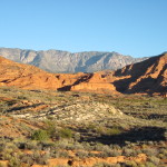
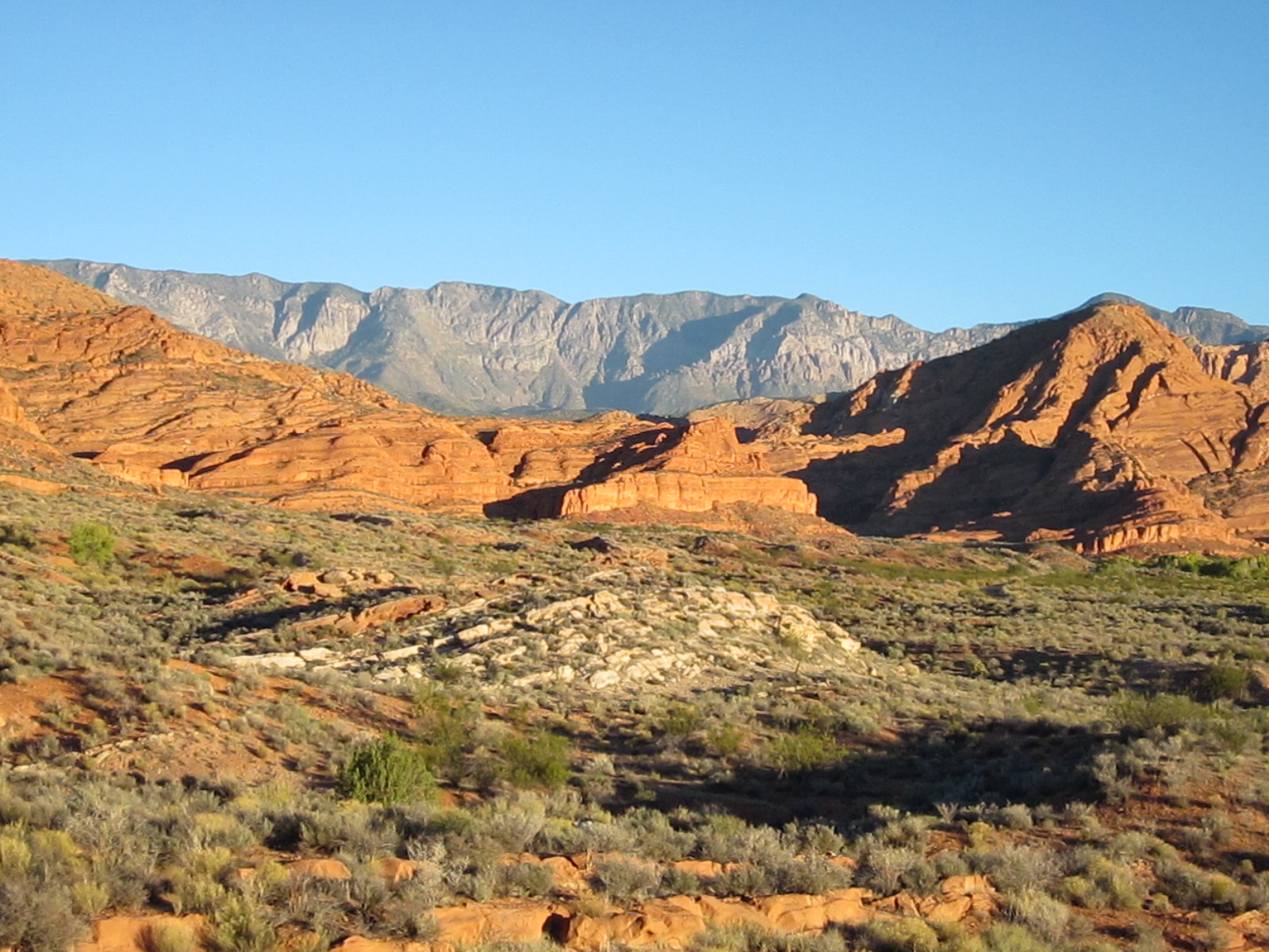
- Visitors are provided with outstanding views such as this one of the distant Pine Valley Mountains and the Cottonwood Wilderness area with red sandstone formations in the foreground.
-
- The trail is typically accessed from its north end at this stepover on the Red Cliffs campground road. Other access may be gained from the High Grade trail and trailhead further to the east.
-
- Throughout the northern portion of the trail, visitors are treated to views of the spectacular Red Cliffs above the recreation area to the west of the trail.