Sand Hill
The Sand Hill trail breaks off from the lower Bone Wash trail on the west and joins the Grapevine trail on the east, a distance of about1.7 miles. The trail runs through a deep, sandy soil throughout its length and is not recommended for bikers. Popular with equestrians who combine the trail with other linked routes for longer rides, the trail is also used occasionally by hikers who often link it with the Dino Cliffs trail and associated access routes for a nice 5-mile loop. Hikers will enjoy the trail more after a rain or during the wet season when the sand is firmer than during the hot, dry months. Visitors will be treated to spectacular views to the north of the canyons, plateaus, sandstone cliffs, red rock formations, lava escarpments, and mountains in the Cottonwood Canyon Wilderness Area and Dixie National Forest. From the Bone Wash junction, elevation gain to the high point is about 560 feet with a total up and down elevation change of about 820 feet. The trail runs across lands administered by SITLA.
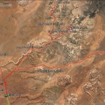
- Sand Hill area map showing linkages with trails to the north.
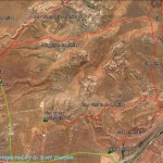
- This map shows the Sand Hill trail and its various access points from the south as well as a potential loop opportunity with the Dino Cliffs trail.
- Access from the east end is generally made from the Grapevine trail shown here coming out of the Grapevine trailhead.
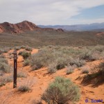
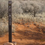
- Sand Hill trail takes off to the west from this junction with the Grapevine trail.
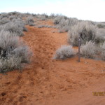
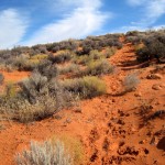
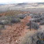
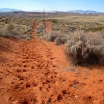
- The trail runs up this sandy slope which can be challenging to hikers and nearly impossible for bike riding.
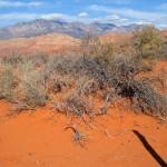
- The trail is well marked through very deep sand on top of a long ridge and is very popular for equestrian use.
- The top of the ridge is found after climbing approximately 560 feet from the start of the trail. Hikers will do well to focus their hiking during periods of moisture to have a firmer footing through the deep sand portions.
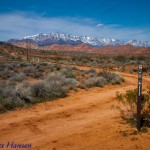
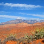
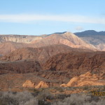
- Views from the upper trail offers spectacular sights such as this one of the red rock environment and desert vegetation.
- The east side of the trail drops down steeply to reach the valley below.
- Views from this end of the trail include views into the Cottonwood Canyon sandstone complex.
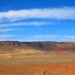
- Views also include the black lava escarpments from the plateaus north of the city of St. George.
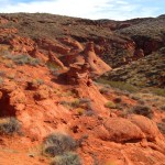
- Visitors will enjoy interesting red rock formations such as these immediately adjacent to the east end of the trail.
- Once down into the valley, equestrians follow this parallel track towards the Mill Creek trail to exit the area and access other loop trails.
- This trail sign indicates the junction of the west end of the Sand Hill trail with the Bone Wash trail.
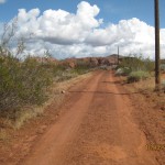
- Most hikers will exit out along the Bone Wash trail located on this powerline road to reach the Mill Creek trail. Others may use this route to begin the Sand Hill hike from the west.
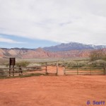
- The Mill Creek trailhead shown here serves as a primary access and exit point for many users of the Sand Hill trail.
