Sidewinder
The currently unmarked Sidewinder trail starts at its western end at an unmarked junction about ¼ mile down the Arch Trail. The trail heads southeasterly along a hard to discern faint track as it climbs over the ridge and turns east. After running through two deep washes, the dirt trail then climbs up a brushy slope marked with user-placed cairns and finds a visible horse trail continuing north-east up the sloping ridge and into the red and white sandstone formations. Marked with numerous additional cairns, the steep trail then winds to the highest ridge and the Sandstone Mountain trail junction. Very nice views of the mountain terrain exist along the entire upper part of the trail. The rocky sections of the Sidewinder trail are not biker friendly and can be a challenge even for some equestrians. A secondary horse trail breaks off from the main route more than halfway up the steep slope and leads to some outstanding views of the surrounding peaks. The moderately difficult route is about 1 mile long with an elevation gain of about 435 feet and a total elevation change up and down of about 500 feet. The trail lies entirely on lands administered by the BLM within the Red Cliffs NCA.
-
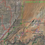
- The Babylon Area Map shows the relationship of the Virgin River trail with all other trails in the Babylon complex.
-
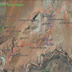
- The Sandstone Area map shows the Sand Cove access trail and all linkages to adjoining trails in the Sandstone Mountain complex.
-
- Visitors may travel to the Sand Cove primitive site for parking or hike from the Sand Cove parking trailhead via the Flicker and Sand Cove access trails.
-
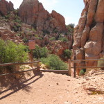
- To reach the Sidewinder trail from the south, visitors will take the Arch trail from the stepover and proceed 1/4 mile down the trail.
-
- The Sidewinder trail breaks off from the Arch trail at this point and proceeds up-slope to the southeast.
-
- The trail then winds itself around the slope in a well defined user trail but has no markings at this time.
-
- In this lower segment, the trail is primarily a single track dirt trail of easy to moderate difficulty.
-
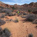
- The trail then proceeds across an open bench and may be difficult to follow due to vegetation overgrowth but is marked with occasional user cairns.
-
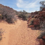
- The trail eventually drops into a wash leading to the southeast and over a low ridge with desert shrub vegetation and user cairns.
-
- A second wash will need to be navigated to move the visitors towards the well used equestrian trail heading up-slope.
-
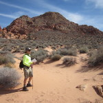
- Once on the equestrian trail, visitors will proceed up-slope towards the peaks rising to the east.
-
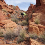
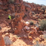
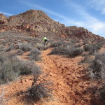
- Visitors will enter a steep rocky section that is strenuous for hikers and challenging for equestrians. Biking is not recommended.
-
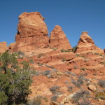
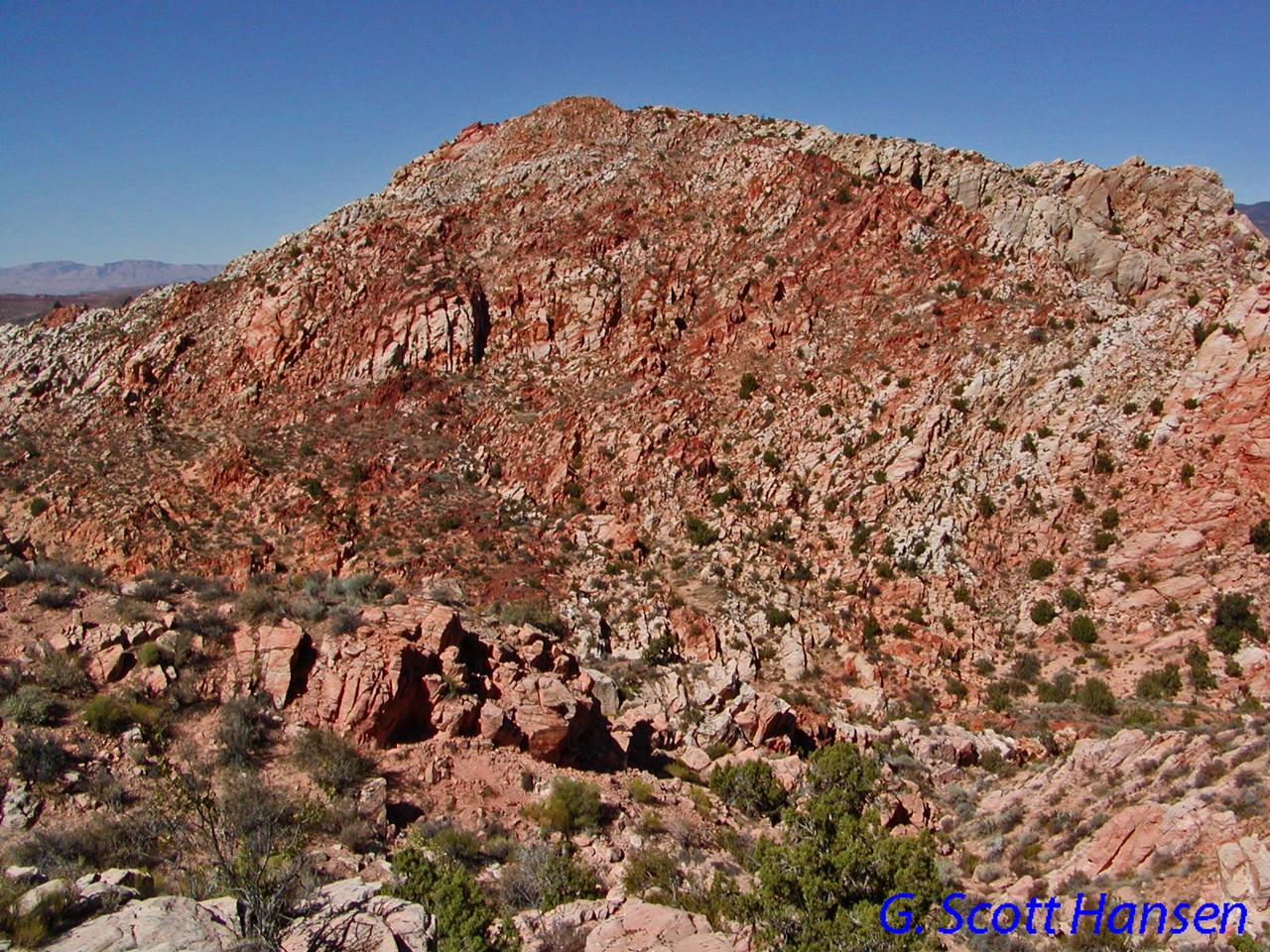
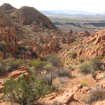
- Beautiful rock formations such as these three peaks guide the visitors along the entire upper trail.
-
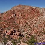
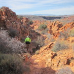
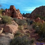
- Views of adjacent peaks are numerous including this view of the northern peak in the Sandstone Mountain complex.
-
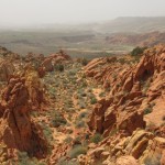
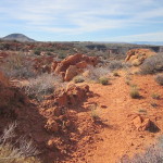
- This view shows the upper Sidewinder trail looking down from above.
-
- At this point the Sidewinder trail joins the Sandstone Mountain trail in the upper saddle.
-
- Partway up the Sidewinder trail, a secondary horse trail winds all the way up to the top of the southern part of the complex.
-

- Spectacular views from the top of the secondary horse trail can be had in almost all directions.